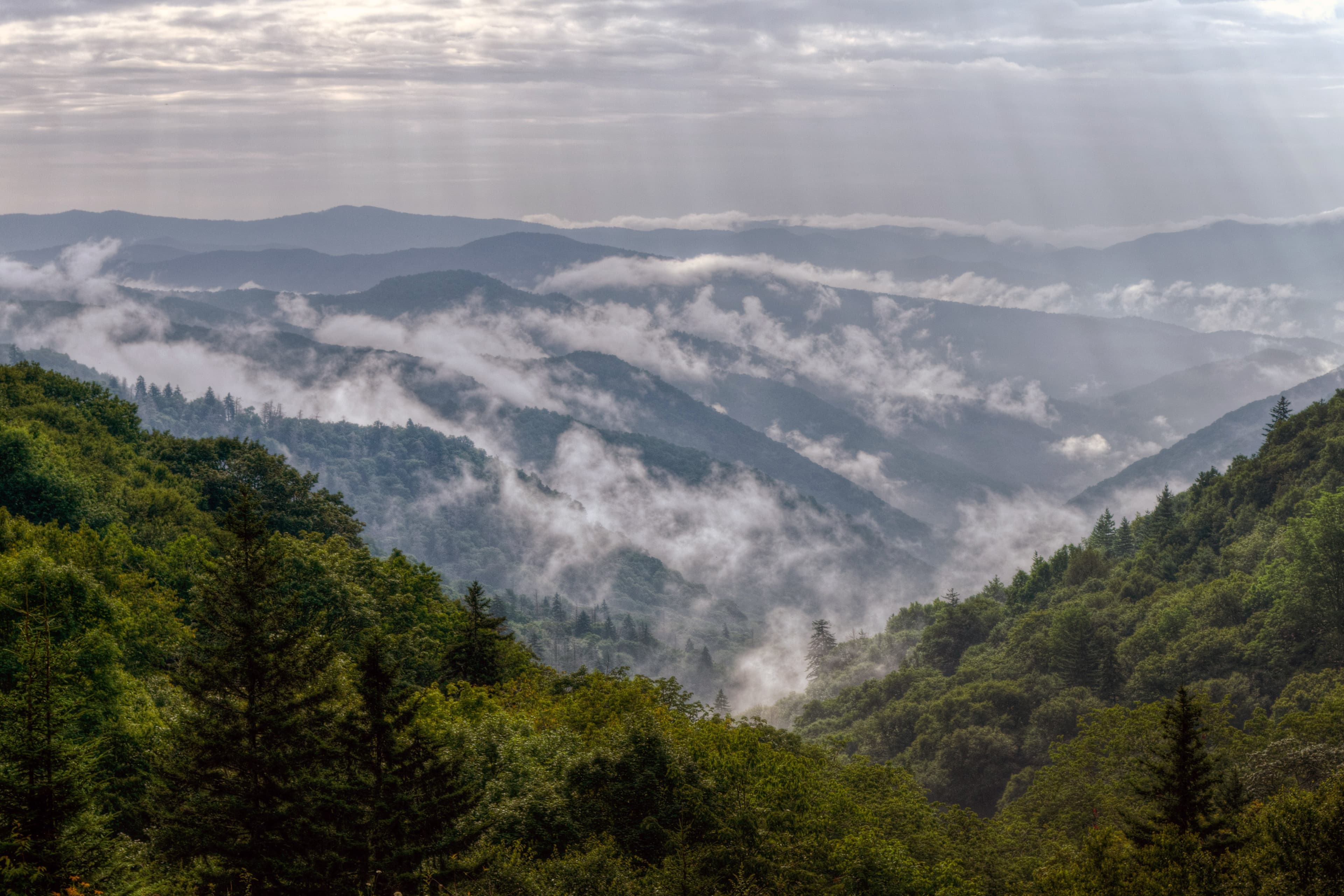
Ridge upon ridge of forest straddles the border between North Carolina and Tennessee in Great Smoky Mountains National Park. World renowned for its diversity of plant and animal life, the beauty of its ancient mountains, and the quality of its remnants of Southern Appalachian mountain culture, this is America's most visited national park. Plan your visit today!
Official NPS WebsiteAlerts & Closures
Park Headquarters Road is closed
Park Headquarters Road is closed due to rehabilitation work on the Sugarlands water and wastewater systems.
Park ClosureStraight Fork and the one-way section of Balsam Mountain Road closed.
Straight Fork and the one-way section of Balsam Mountain Road (Heintooga Round-Bottom Road) are closed.
Park ClosureMost visitors need a parking tag
All vehicles parking for longer than 15 minutes require a parking tag. Three tag durations are available for purchase for all vehicle sizes and types: Daily ($5), Weekly ($15), or Annual ($40).
InformationActivities
- Arts and Culture
- Live Music
- Auto and ATV
- Scenic Driving
- Astronomy
- Stargazing
- Biking
- Road Biking
- Camping
- Backcountry Camping
- Car or Front Country Camping
- Horse Camping (see also Horse/Stock Use)
- Group Camping
- RV Camping
- Fishing
Operating Hours
Great Smoky Mountains National Park
Primary roads are open 24 hours a day, seven days a week, year-round, weather permitting. This includes Newfound Gap Road (US-441), Little River Road, and Laurel Creek Road. Secondary roads are closed seasonally.
- wednesday
- All Day
- monday
- All Day
- thursday
- All Day
- sunday
- All Day
- tuesday
- All Day
- friday
- All Day
- saturday
- All Day
Trails & Things To Do
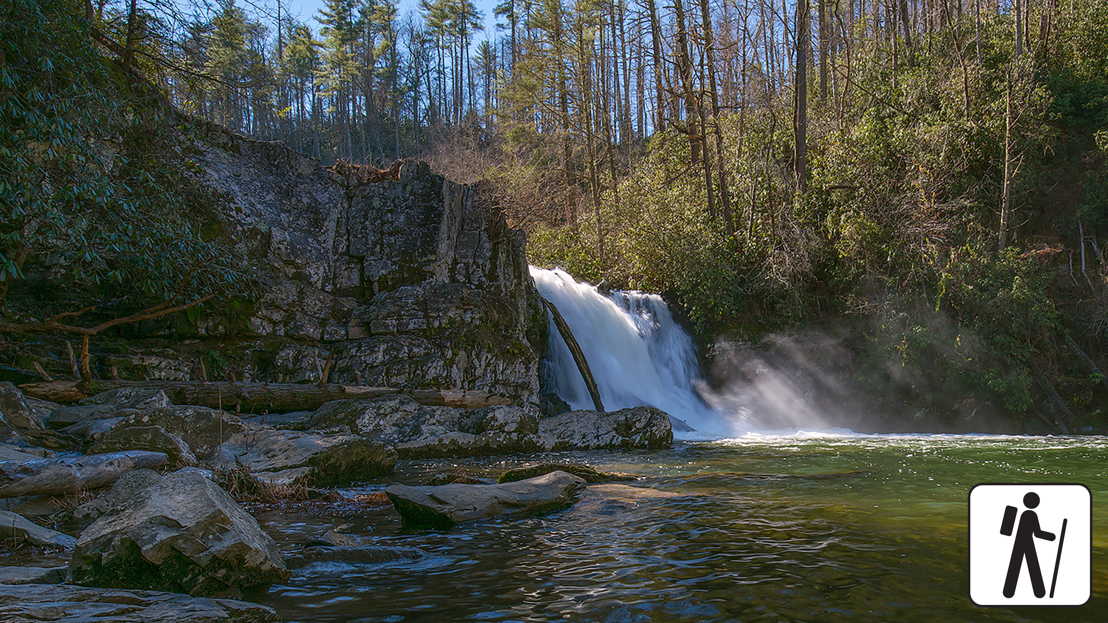
Hike to Abrams Falls
Walk 5 miles (8 km) roundtrip through rhododendron, hemlock, and pine-oak forest to a 25-foot (7.6-m) waterfall and scenic pool. Swimming in the pool is not recommended due to slippery rocks and a dangerous undertow.
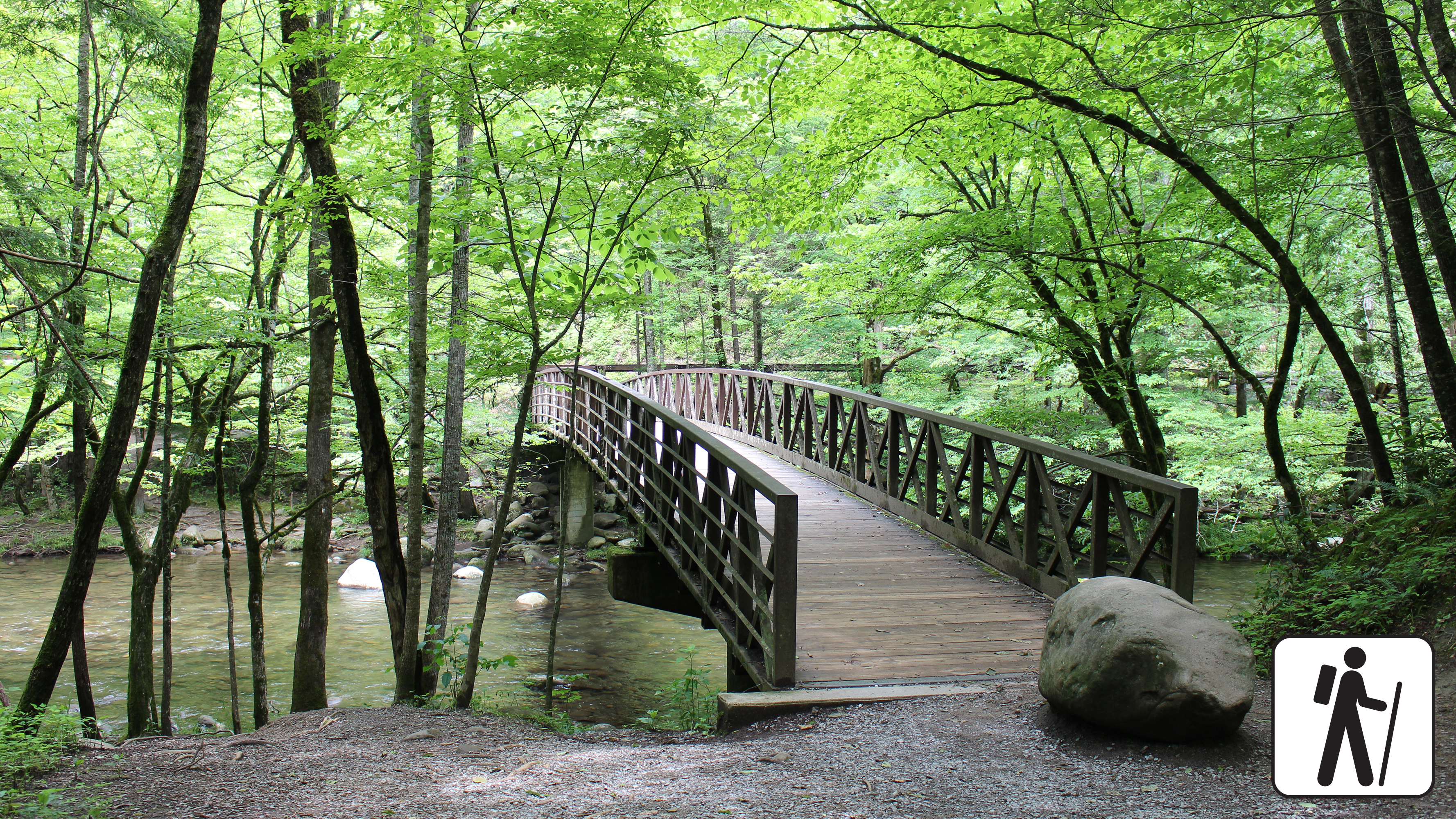
Hike the Gatlinburg Trail
Enjoy a riverside stroll approximately 4 miles (6.4 km) roundtrip through a cove hardwood forest along one of the only dog- and bike-friendly trails in the park. This trail includes sections of sidewalks and roadsides as well as graded dirt path.
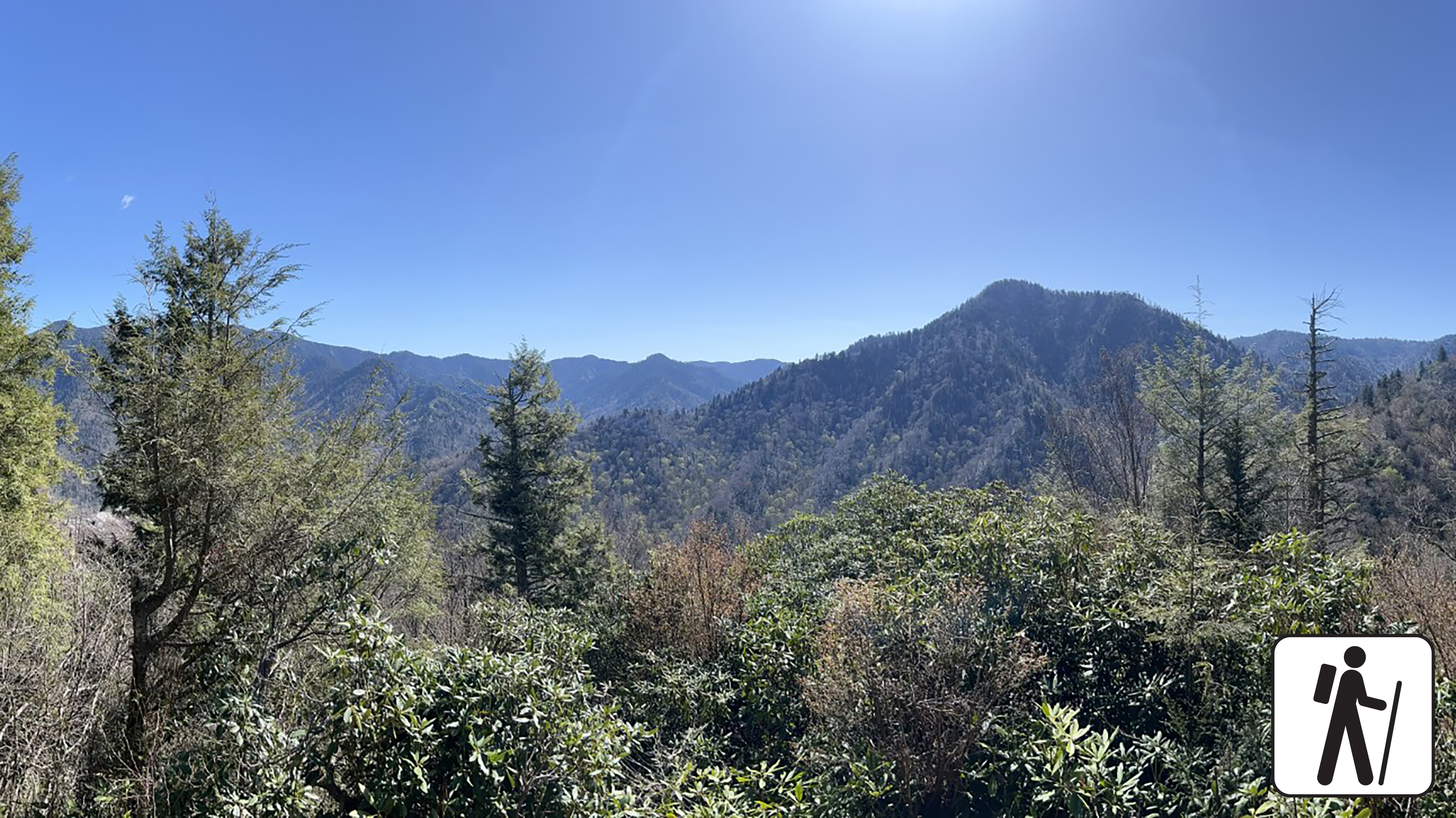
Hike to Chimney Tops Overlook
Hike 3.5 miles (5.6 km) roundtrip on this popular but challenging trail to enjoy views of surrounding mountains and the Chimney Tops pinnacles. This trail is steep and rocky at times, and includes bridges, stairs, and some lingering signs of 2016 wildfires.
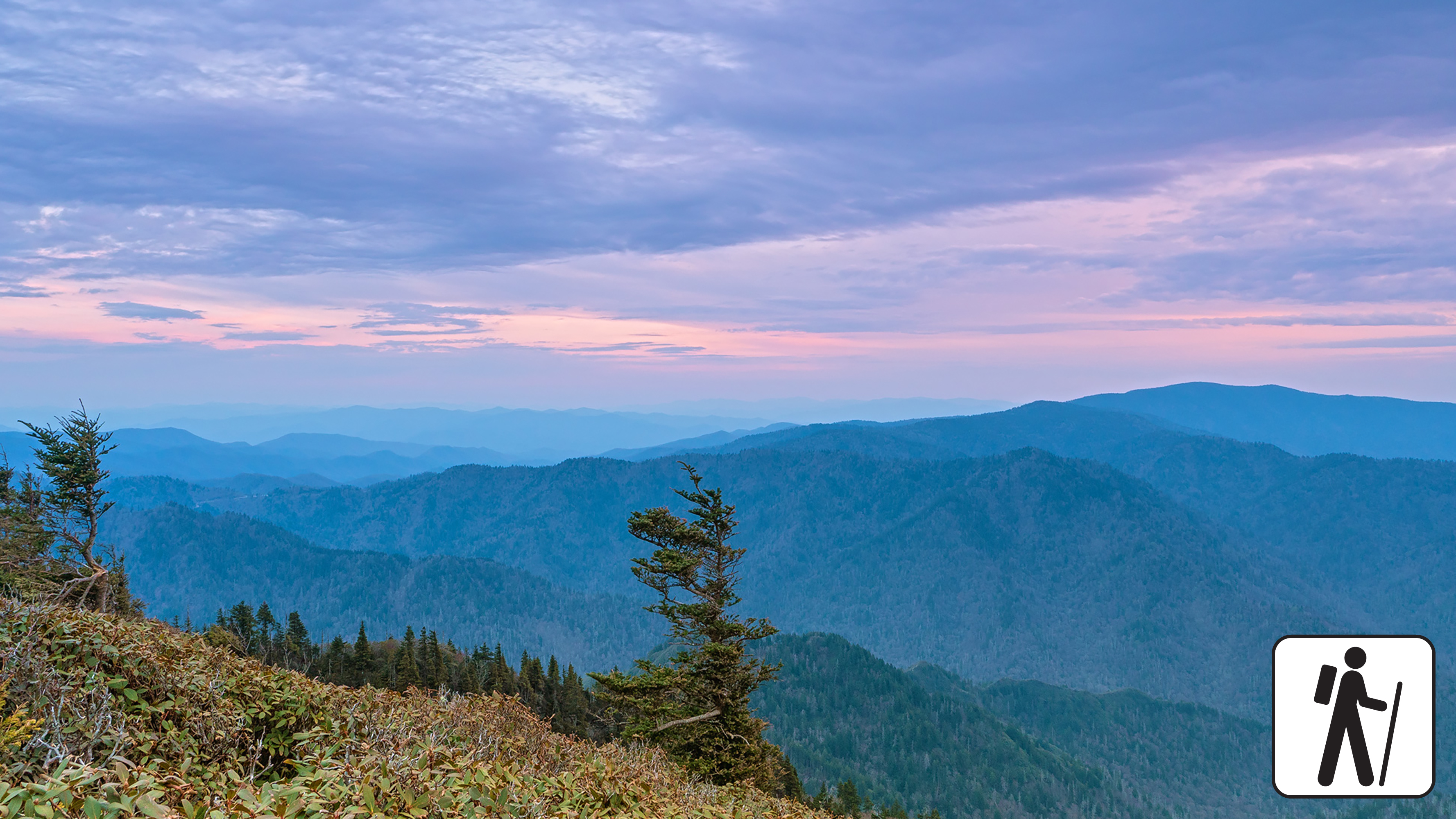
Hike to Mount Le Conte on Bullhead Trail
One of five routes to Mount Le Conte, the Bullhead Trail offers consistent views. The strenuous hike is 13.6 miles (21.9 km) roundtrip. Near the beginning, visitors will see rocky cliffs and climb the Bullhead, a heath-covered bald that may resemble a bull's head from a distance.
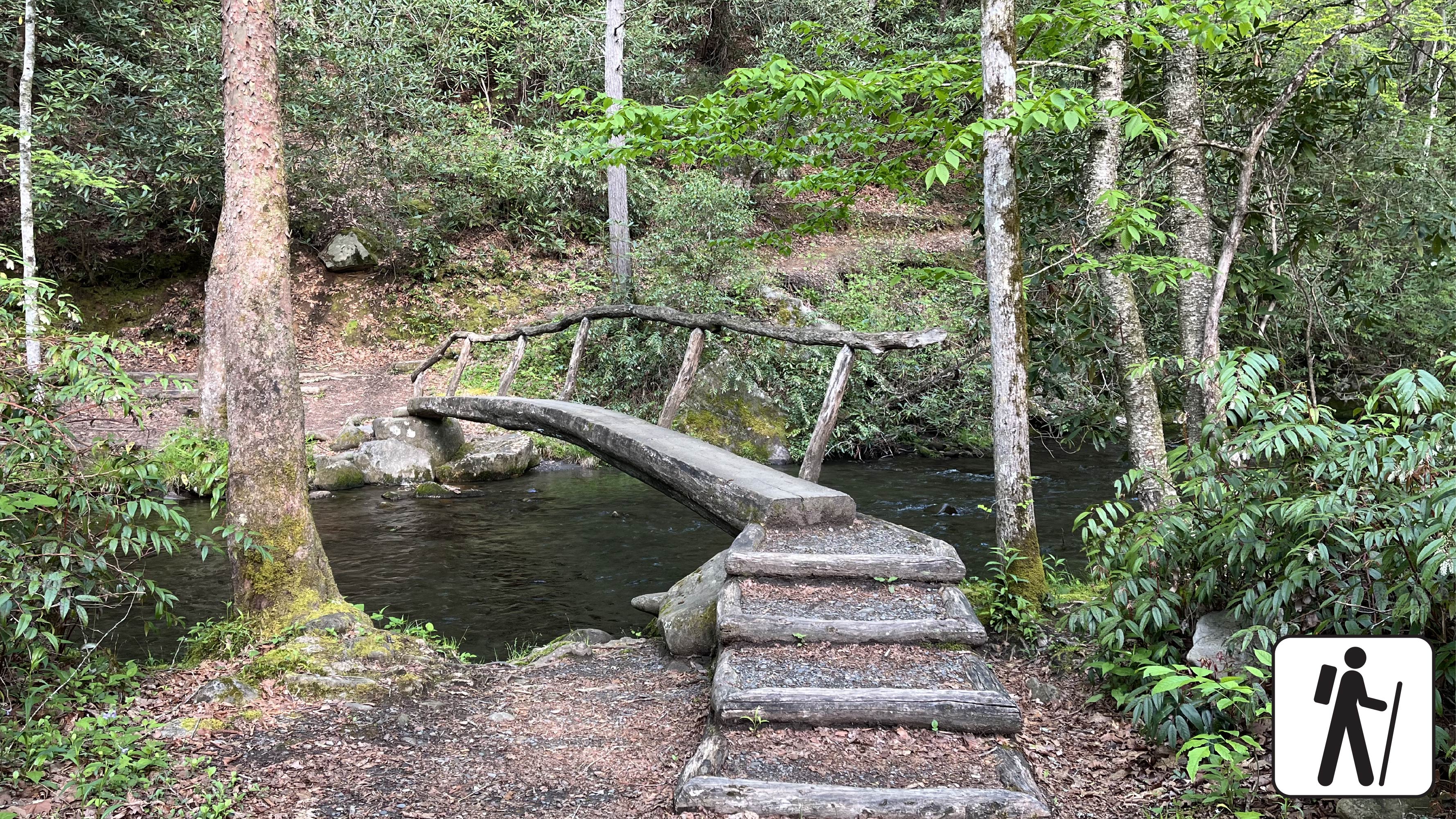
Hike Smokemont Nature Trail
Hike 0.62-mile (1 km) roundtrip on Smokemont Nature Trail which provides a peaceful escape and views of the surrounding peaks.
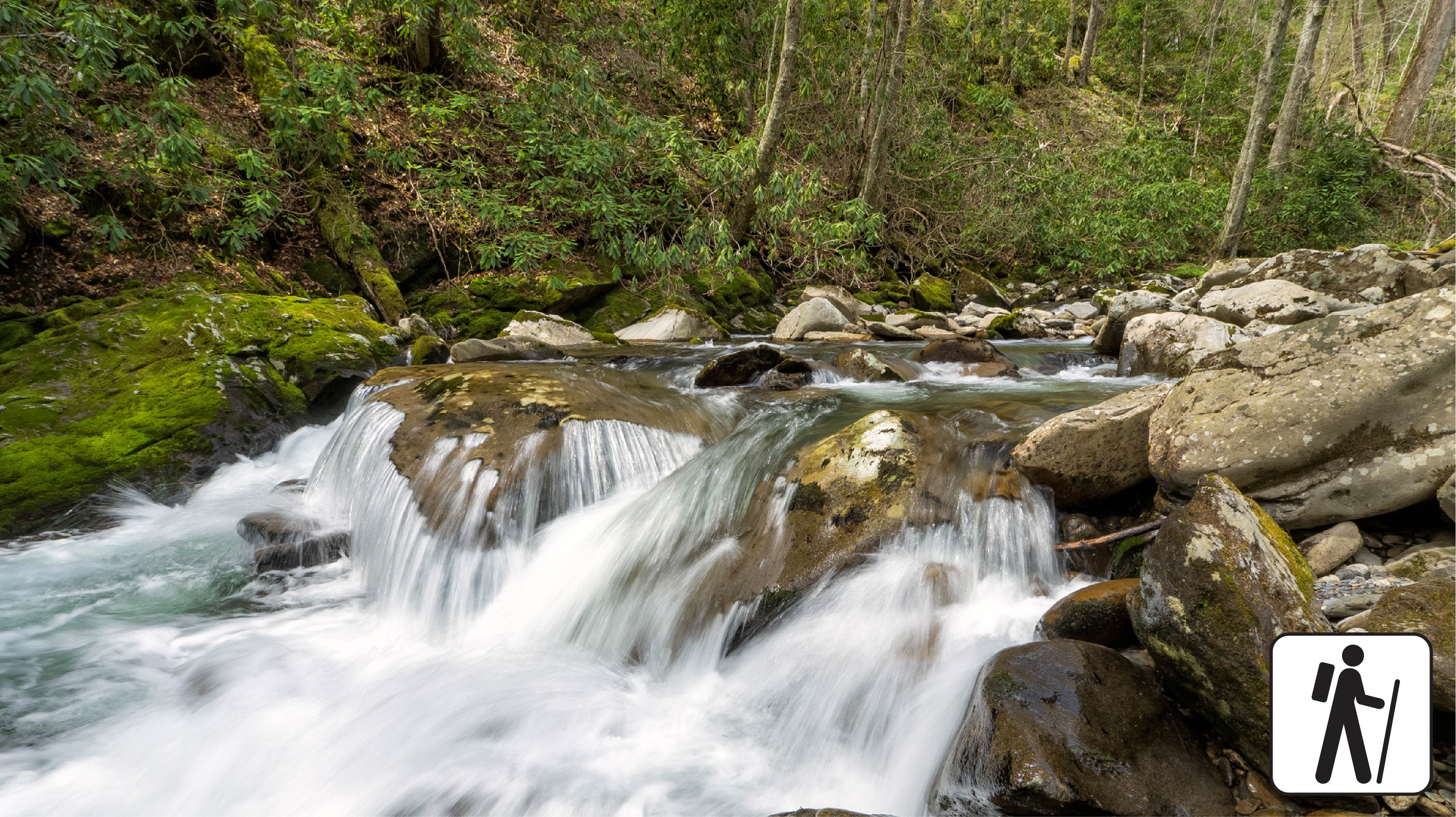
Hike Bradley Fork Trail
The Bradley Fork Trail offers a scenic and diverse outdoor experience, featuring picturesque creeks, seasonal wildflowers, fishing access, horseback riding opportunities, and backcountry camping.
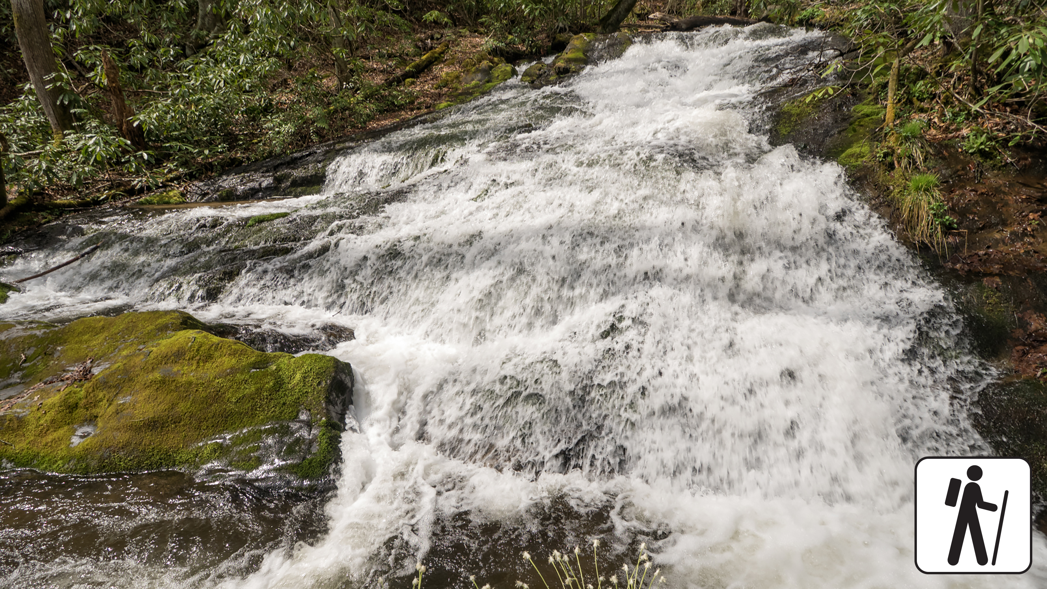
Hike to Chasteen Creek Cascade
Hike 3.6 miles (5.8 km) roundtrip through hardwood forest following the path of mountain streams to a peaceful cascade. This trail is wide, well-graded, and regularly used by both hikers and horse riders.
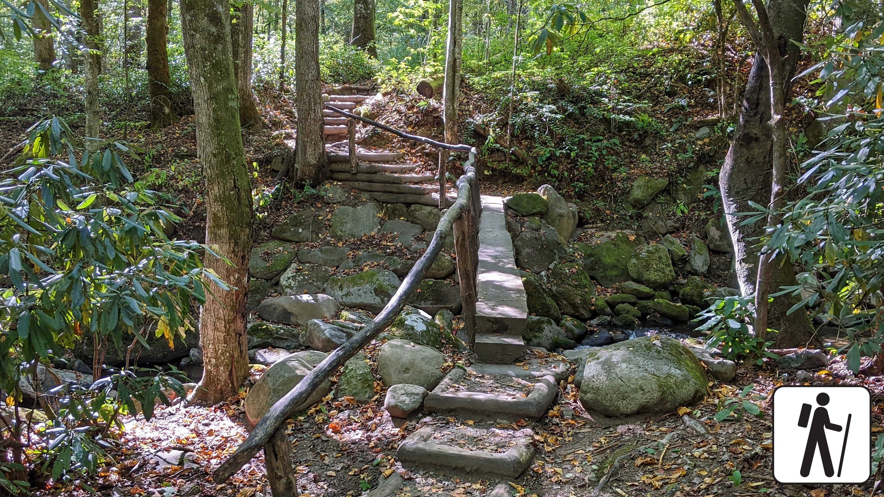
Hike Kephart Prong Trail to Historic CCC Camp
Follow the flow of mountain streams 4 miles (6.4 km) roundtrip through hardwood forest and across several log footbridges to the remains of a CCC camp and the Kephart Shelter.
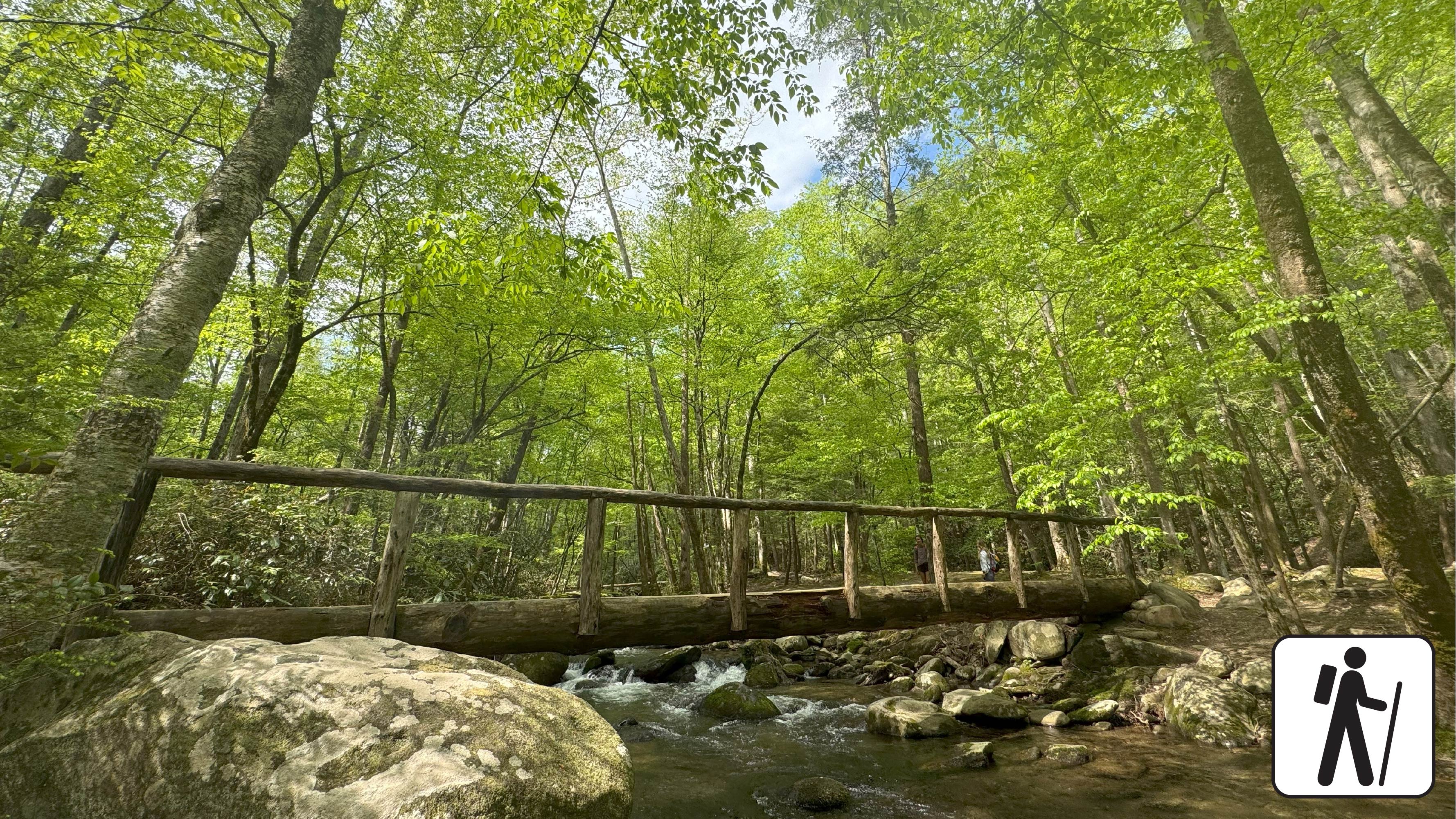
Hike West Prong Trail
Hike 5.4 miles (8.7 km) roundtrip on West Prong Trail
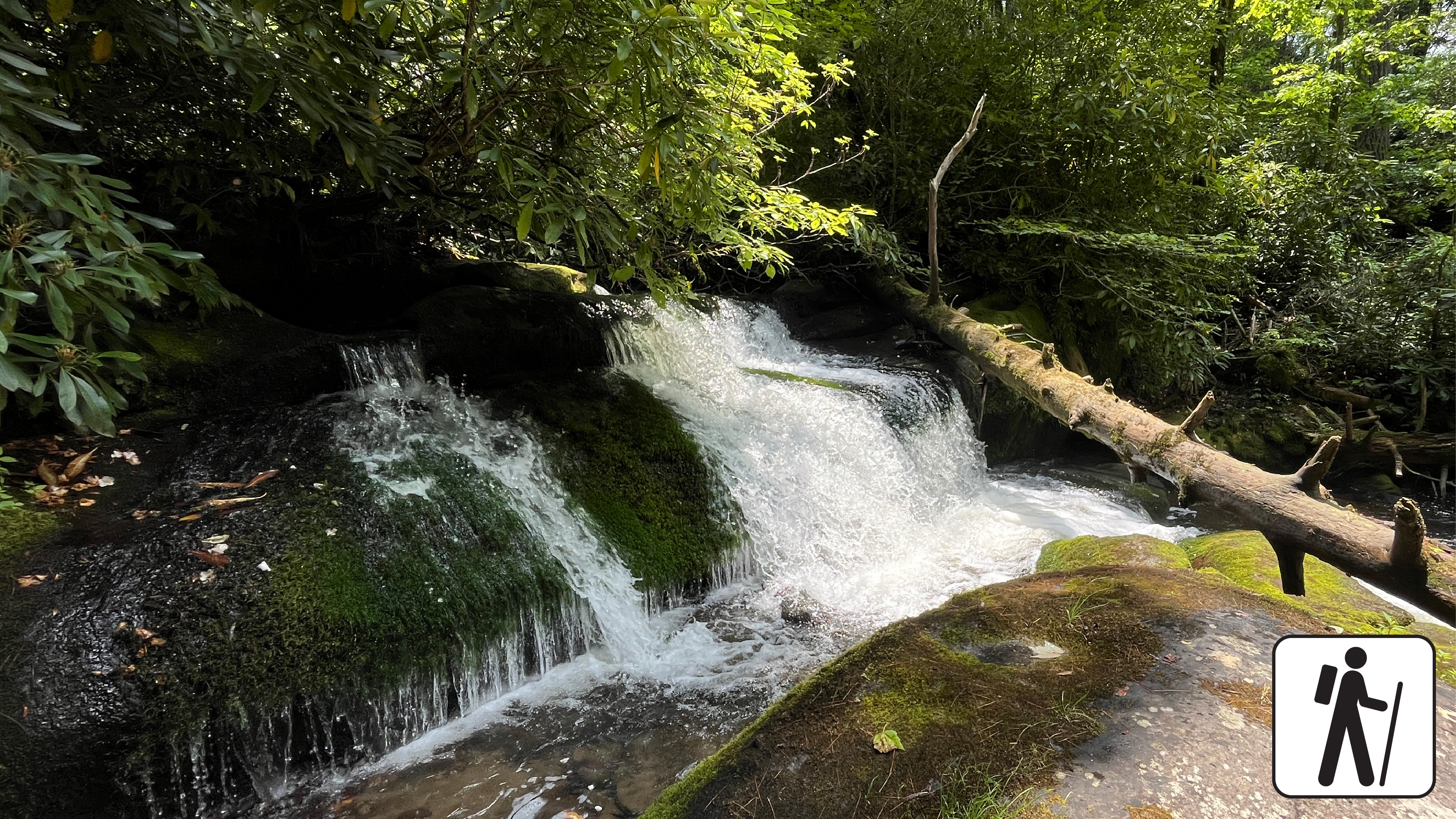
Hike to Twentymile Cascade
Hike 1.2 miles (1.9 km) roundtrip along a wide gravel roadbed that follows a mountain stream to a cascade surrounded by moss-covered rocks and mixed hardwood forest.
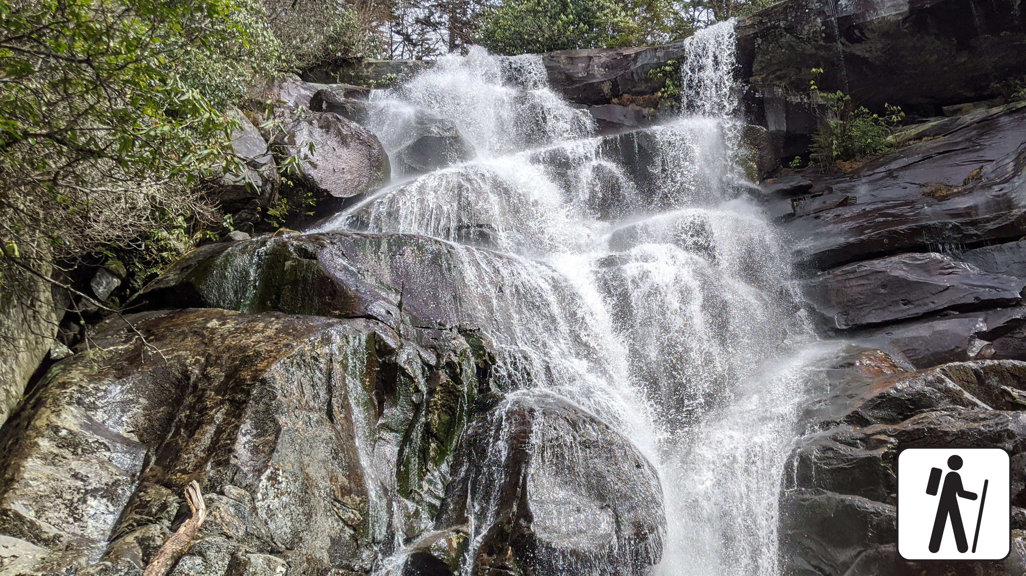
Hike to Ramsey Cascades
Hike 8 miles (12.9 km) roundtrip on this popular but relatively challenging trail through cove hardwood forest to see the tallest waterfall in the park. The trail begins on an old roadbed but becomes narrower and rockier crossing multiple footlog bridges and streams as it ascends.
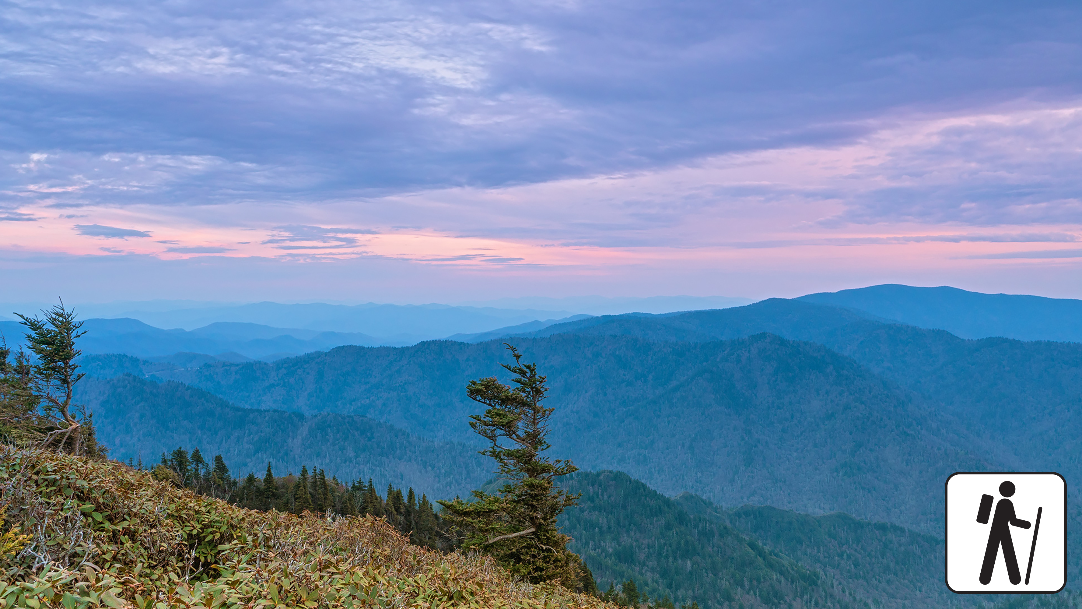
Hike to Mount Le Conte on Trillium Gap Trail
One of five routes to Mount Le Conte, Trillium Gap Trail to Mount Le Conte is 13 miles (20.9 km) roundtrip and rewards hikers with mountain views, diverse forest, and a waterfall. Near the summit, the best views are at Cliff Top and Myrtle Point, both marked with signs.
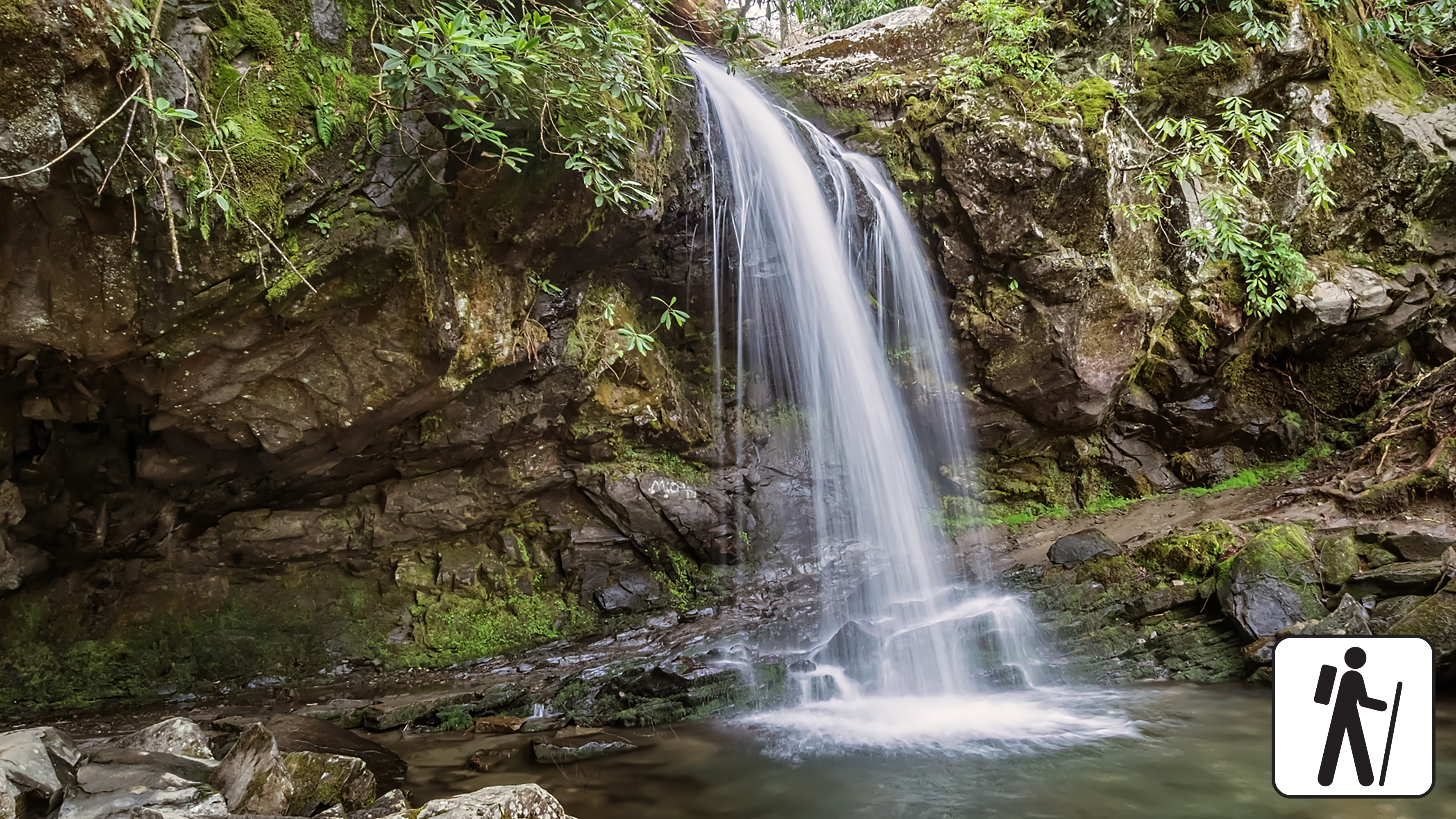
Hike to Grotto Falls
Hike 2.6 miles (4.2 km) roundtrip on Trillium Gap Trail as it crosses multiple streams and sections of old-growth forest to reach a unique waterfall you can walk behind. This trail is well-traveled but prone to muddy and slippery conditions.
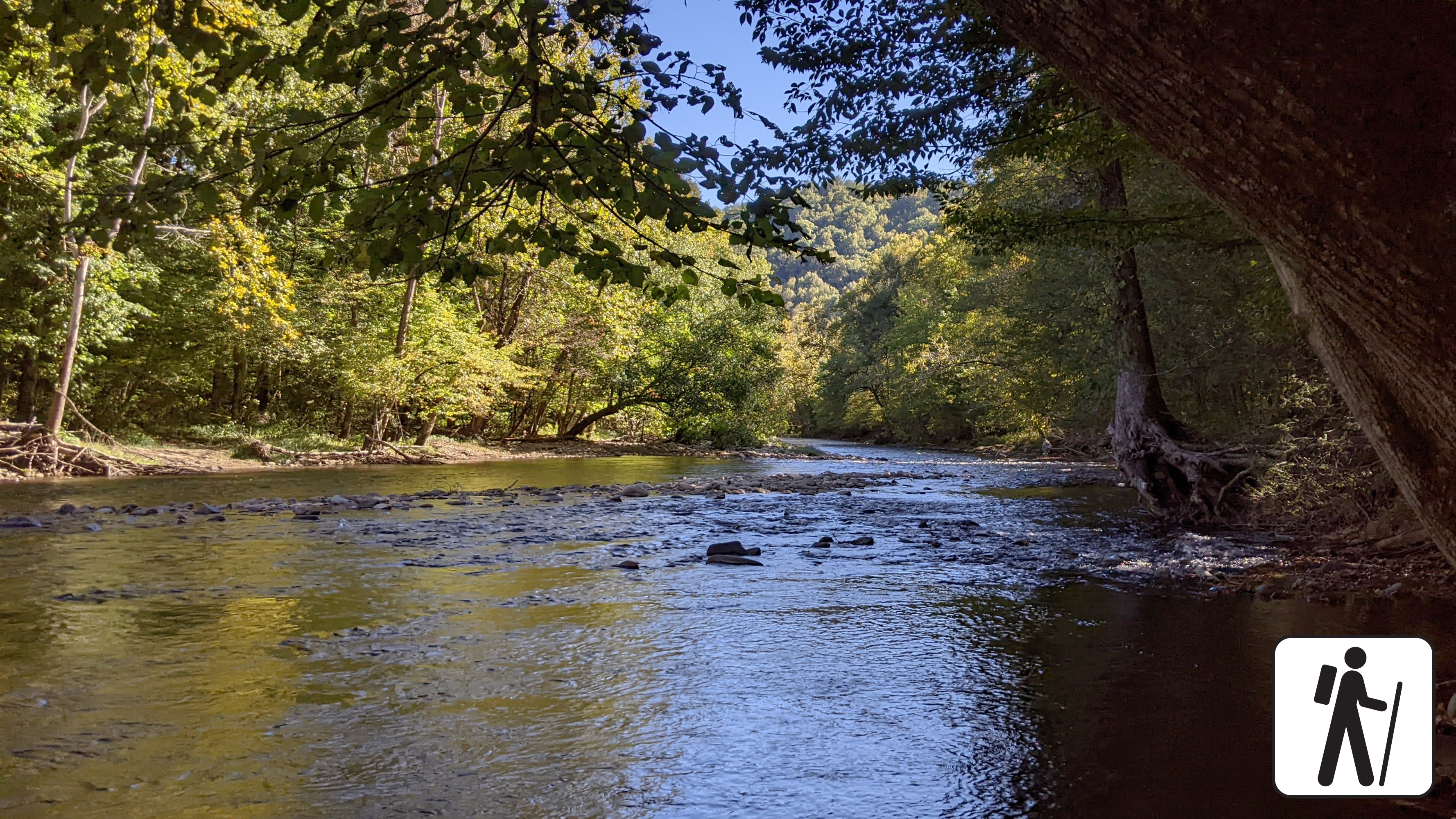
Hike the Oconaluftee River Trail
Enjoy a riverside stroll approximately 3 miles (4.8 km) roundtrip on one of the only pet- and bike-friendly trails in the park. This popular trail is relatively flat, wide, and graveled and follows the Oconaluftee River through elk habitat and hardwood forest.
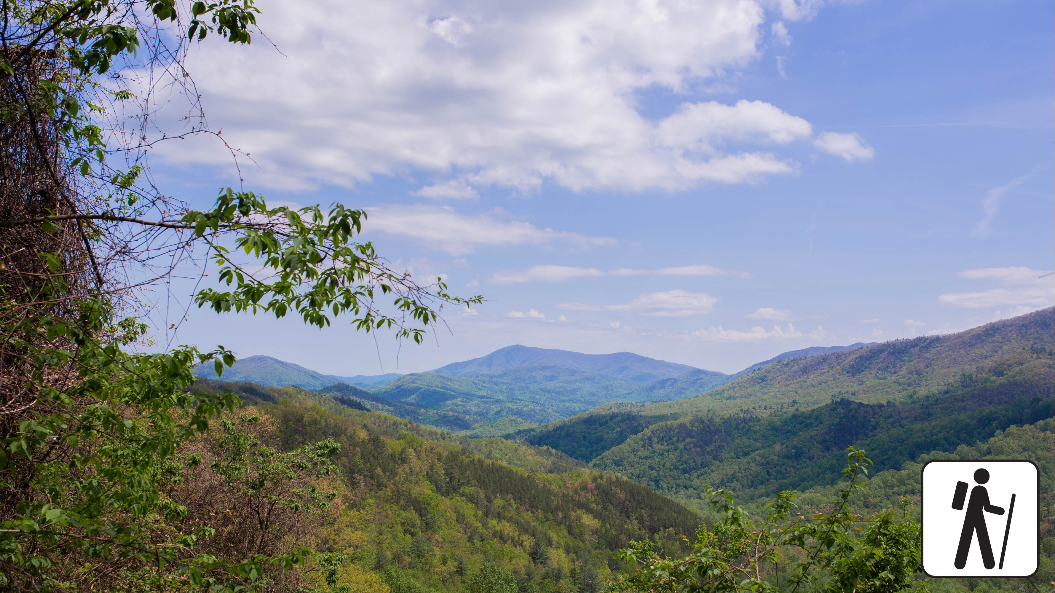
Hike the Finley Cane, Bote Mountain, Lead Cove Loop
Hike 6.9 miles (11.1 km) on this looped route that links three shorter trail sections, offering a chance to experience the biodiversity of Bote Mountain at various elevations.
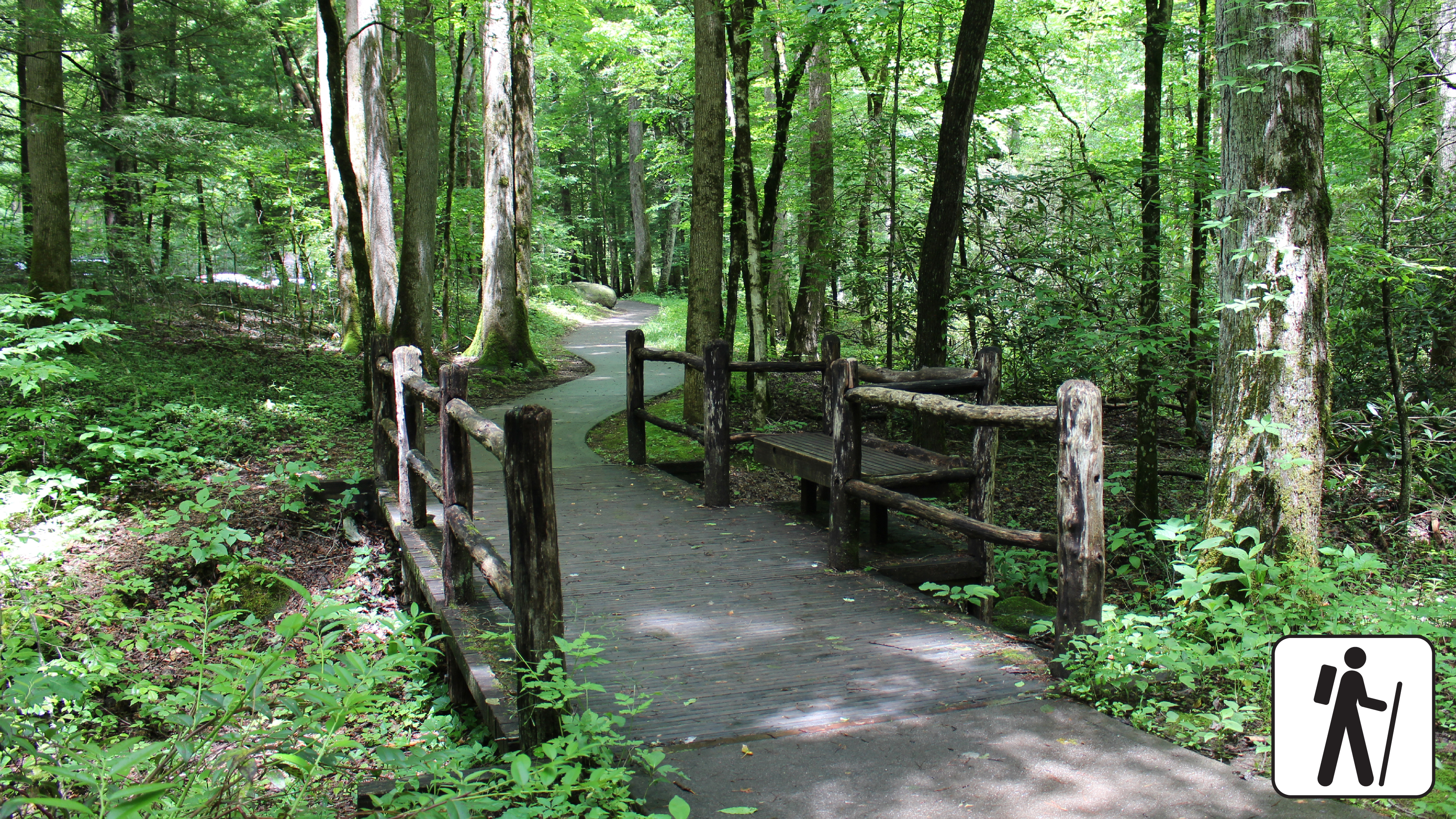
Walk Sugarlands Valley Nature Trail
Wander through a cove hardwood forest with streamside views, rock walls, and historic stone chimneys on this half-mile (0.8 km) loop along a paved, flat trail. The trailhead is adjacent to a small parking area with several accessible spaces along Newfound Gap Rd (US 441) near Sugarlands Visitor Center.
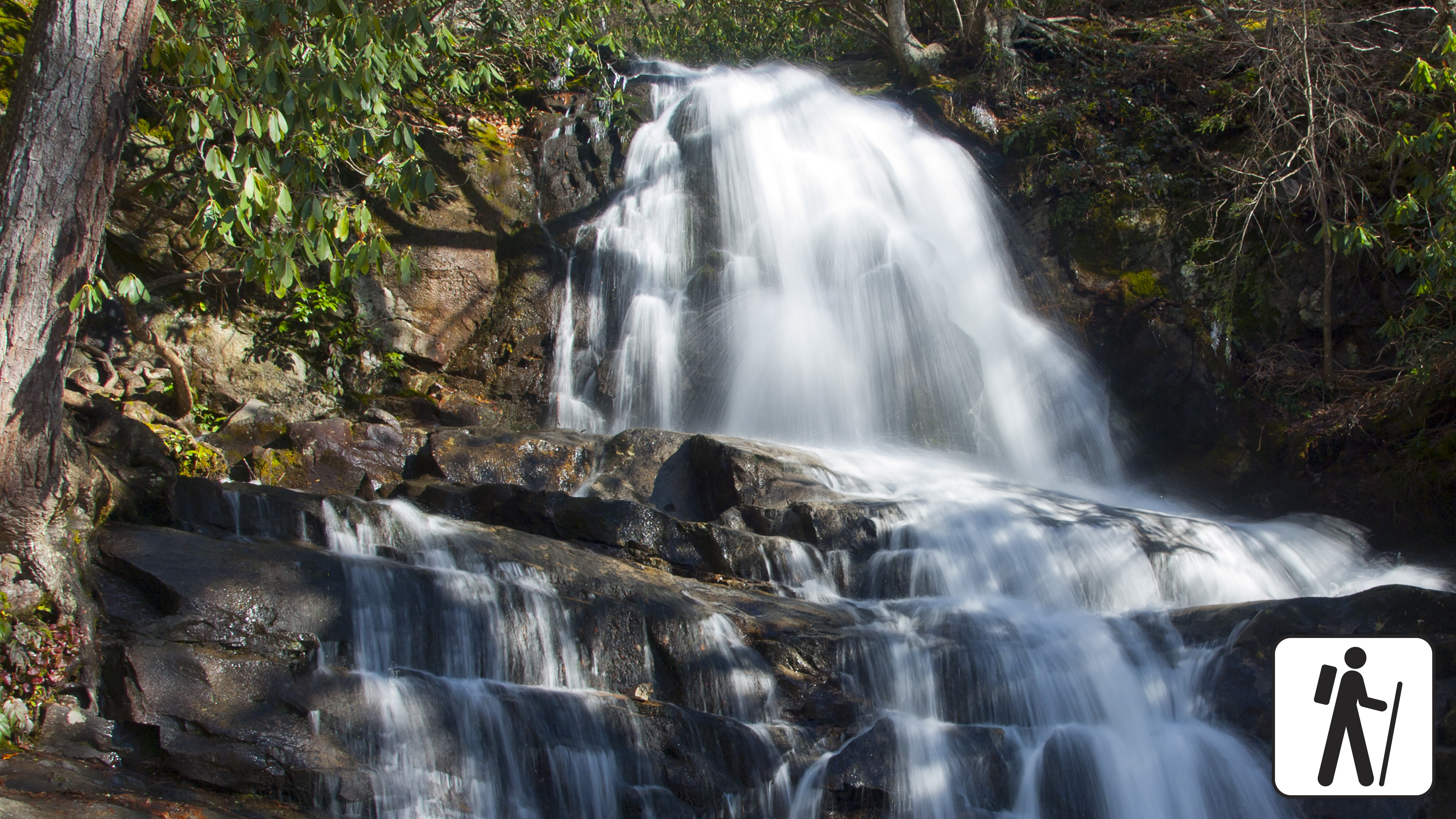
Hike to Laurel Falls
Hike 2.6 miles (4.2 km) roundtrip through a mixed hardwood forest to an 80-foot (24-m) waterfall. Enjoy a few views of the mountain landscape before arriving at the waterfall. PLEASE NOTE: Laurel Falls Trail is expected to close starting in mid-December for 18 months.
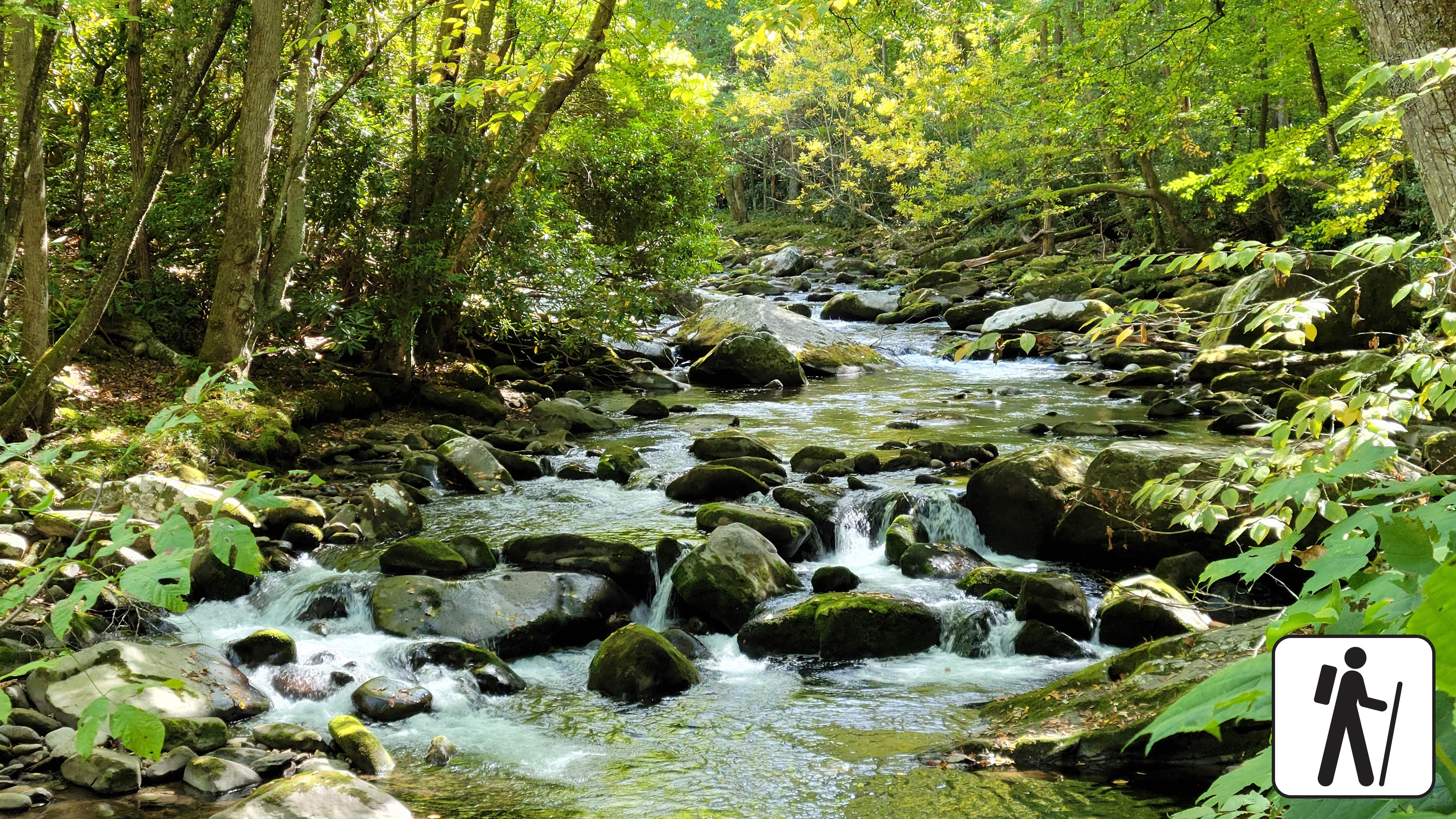
Hike Little River Trail
Once a railroad bed, the Little River Trail now offers a peaceful hike through the Elkmont area of Great Smoky Mountains National Park. As you follow the river’s gentle flow, you’ll pass remnants of the old Elkmont community—stone chimneys and foundations quietly tucked into the forest.

Drive Foothills Parkway (Chilhowee to Walland)
Drive 16.6 miles (26.7 km) one-way on Foothills Parkway from Chilhowee to Walland.

Drive Foothills Parkway (Walland to Wears Valley)
Drive 14.75 miles (23.74 km) one-way on Foothills Parkway from Walland to Wears Valley.
Campgrounds (13)
Smokemont Campground
142 total sites · 142 reservable
Smokemont Campground—open year-round—is the closest family campground to Oconaluftee Visitor Center in the South District of the park. At 2,198 feet (670 m), winters are mild and summers are hot and humid. Tent and RV campsites, flush toilets, and drinking water are available. No hookups or showers. America the Beautiful passes (not accepted in lieu of the parking tag for parking outside your campsite) are sold at the campground ranger station in summer & fall or online through the USGS store.
Cades Cove Campground
161 total sites · 164 reservable
Cades Cove Campground—open year-round—combines the feel of primitive camping with the modern convenience of flush toilets and drinking water. With an elevation of 1,807 feet (551 m), the climate is moderate, characterized by mild winters and hot, humid summers. No hookups or showers. America the Beautiful passes (not accepted in lieu of the parking tag for parking outside your campsite) are sold at the campground ranger station in summer & fall or online through the USGS store.