Park Rivers and Streams Closed to Fishing Daily from 2 p.m. to Sunrise
All park rivers and streams are closed to fishing daily from 2 p.m. to sunrise due to high water temperatures and low stream flows. Additionally, the Madison, Firehole, and Gibbon (downstream of Norris Campground) rivers are fully closed to fishing. These closures will remain in effect until conditions improve to protect the park’s native and wild trout fisheries.
InformationTraffic Delays - Yellowstone River Bridge
Expect up to 30-minute delays on the Yellowstone River Bridge, near Tower Junction, while crews perform paving operations. Crews will work during the day until Aug. 7, and at night Aug. 9-15. Dates and times are subject to change based on weather.
InformationTheir Space, Your Safety
Animals in Yellowstone are wild and dangerous. Stay at least 100 yards (91 m) from bears/wolves/cougars and 25 yards (23 m) from bison/elk/all other wildlife. Carry bear spray (even on short walks) and know how to use it—you can rent/purchase/recycle it at several locations in the park.
Biscuit Basin Closed Due to Hydrothermal Explosion
The parking lot, boardwalk, and Firehole River at Biscuit Basin, located north of Old Faithful, is closed to all travel until further notice due to the possibility of another event at the site of a hydrothermal explosion that occurred July 23, 2024.
Park ClosureTraffic Delays - Gardner River High Bridge
Expect a single lane of traffic with up to 15-minute delays, 24 hours a day, seven days a week, from April 1 through late October 2026. Oversized/overweight vehicles (8'6"+ wide, 75'+ long, 80,000 lbs+ gross vehicle weight) will not be able to cross the bridge during this time.
InformationVehicle Entrance Reservation Not Needed
Although an entrance pass is required to enter Yellowstone National Park, vehicle reservations are not needed. You are encouraged to purchase an entrance pass before arriving, but you may also purchase passes at any entrance station upon arrival.
InformationAll Park Hours
Yellowstone is open daily, year-round, although activities and services are limited at night and certain times of year. The park has five entrance stations, but not all entrance stations are open year-round. Make sure to carefully read about access at each station at different times of year. And remember, all dates are weather-dependent. Please note that camping is possible only in designated campgrounds.
West Entrance
Adjacent to the town of West Yellowstone, Montana, the West Entrance is usually open (weather-dependent) to wheeled vehicles from the third Friday in April through early November, and to tracked-oversnow (snowmobiles and snowcoaches) vehicles from December 15 to March 15.
North Entrance
Near the gateway community of Gardiner, Montana, the North Entrance is the only park entrance open to wheeled vehicles all year. November through April, the North Entrance provides the only access to Cooke City, Montana. US Highway 212 east of Cooke City is closed to wheeled vehicles November through April. The road from Mammoth to Norris opens to wheeled vehicles the third Friday in April through early November, and to tracked-oversnow vehicles, conditions permitting, from December 15 to early March.
East Entrance
Depending on the weather and conditions, this entrance usually opens to wheeled vehicles the first Friday in May and to tracked-oversnow vehicles December 22 through March 15.
South Entrance
Open (weather-dependent) to wheeled vehicles from the second Friday in May through early November and to tracked-oversnow vehicles from December 15 to March 15. Limited services are available near the South Entrance.
Northeast Entrance
Near the gateway communities of Silver Gate and Cooke City, Montana, this entrance is open year around for wheeled vehicle access to Cooke City through Gardiner, Montana. US Highway 212 east of Cooke City is closed to wheeled vehicles November through April. Opening dates for roads east of Cooke City vary from year to year, depending on the weather. The Beartooth Highway is open from late May/early June (weather dependent) to mid October.

Snow Pass Ski Trail
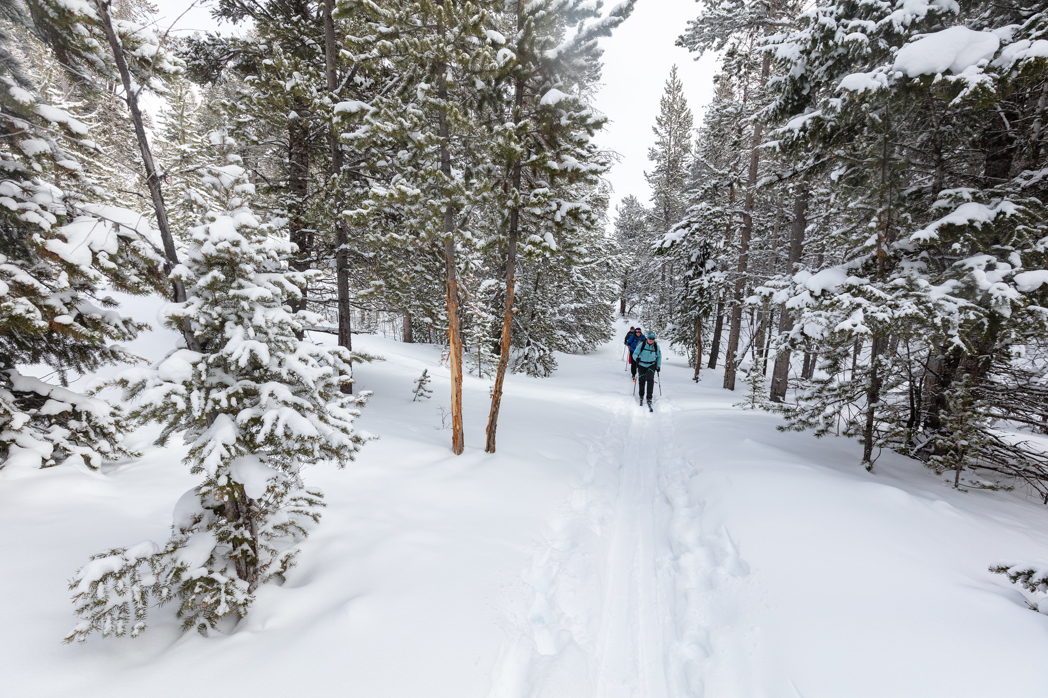
The Snow Pass Ski Trail is a 4.2 mile (6.76 km), skier-tracked, one-way, easiest to most-difficult, ski that takes skiers through a steep heavily forested area to a semi-flat wide open area with views of Swan Lake Flats.

Yellowstone River Picnic Area Trail
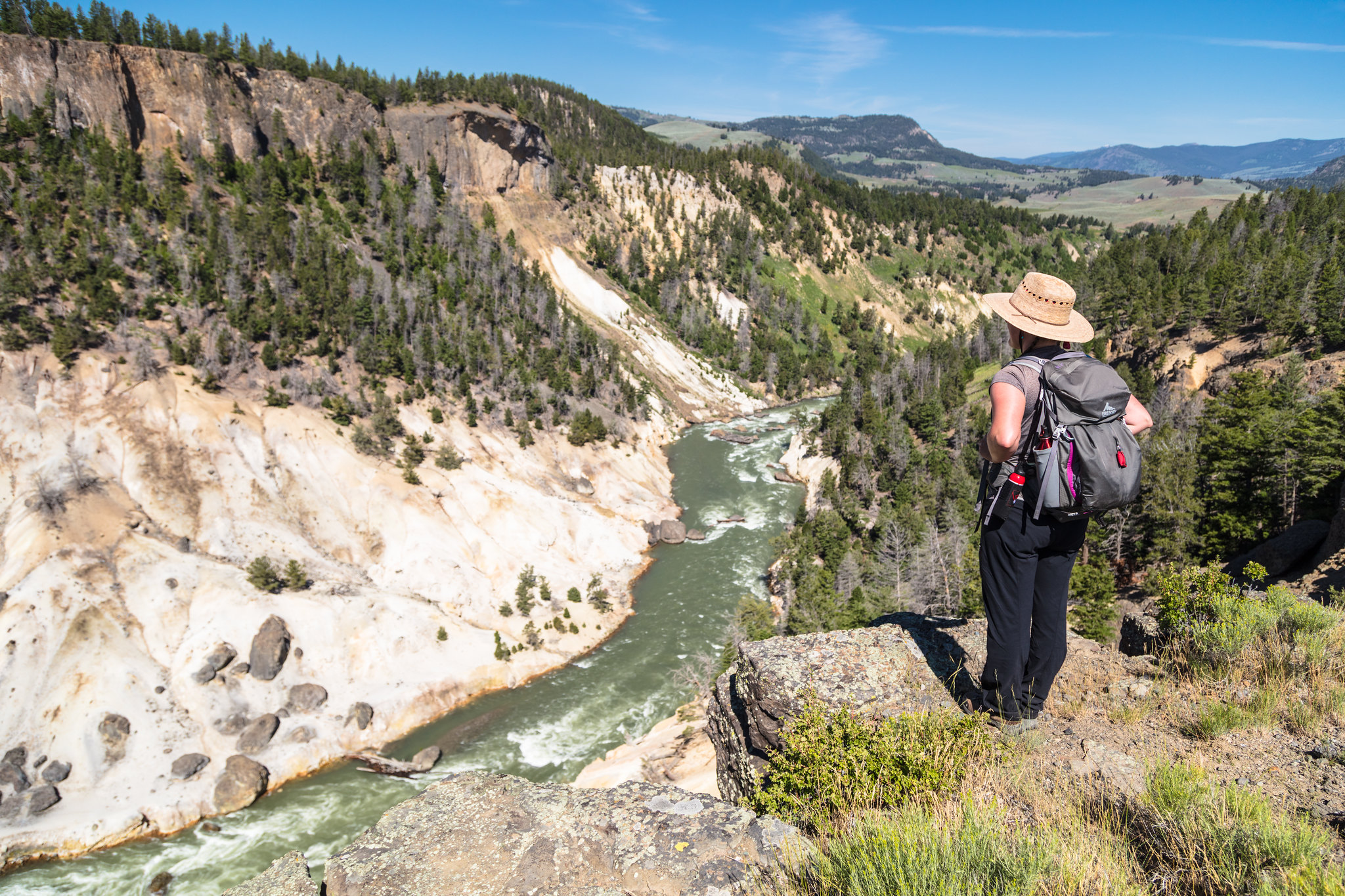
Follow the rim of the Yellowstone River valley, enjoying views of bighorn sheep, the Narrows of the Yellowstone, Overhanging Cliff, and the towers of Tower Falls.

Yellowstone Lake Overlook Trail
Hike to a high mountain meadow for a commanding view of the West Thumb of Yellowstone Lake and the distant Absaroka Mountains.

West Thumb Geyser Basin Trail
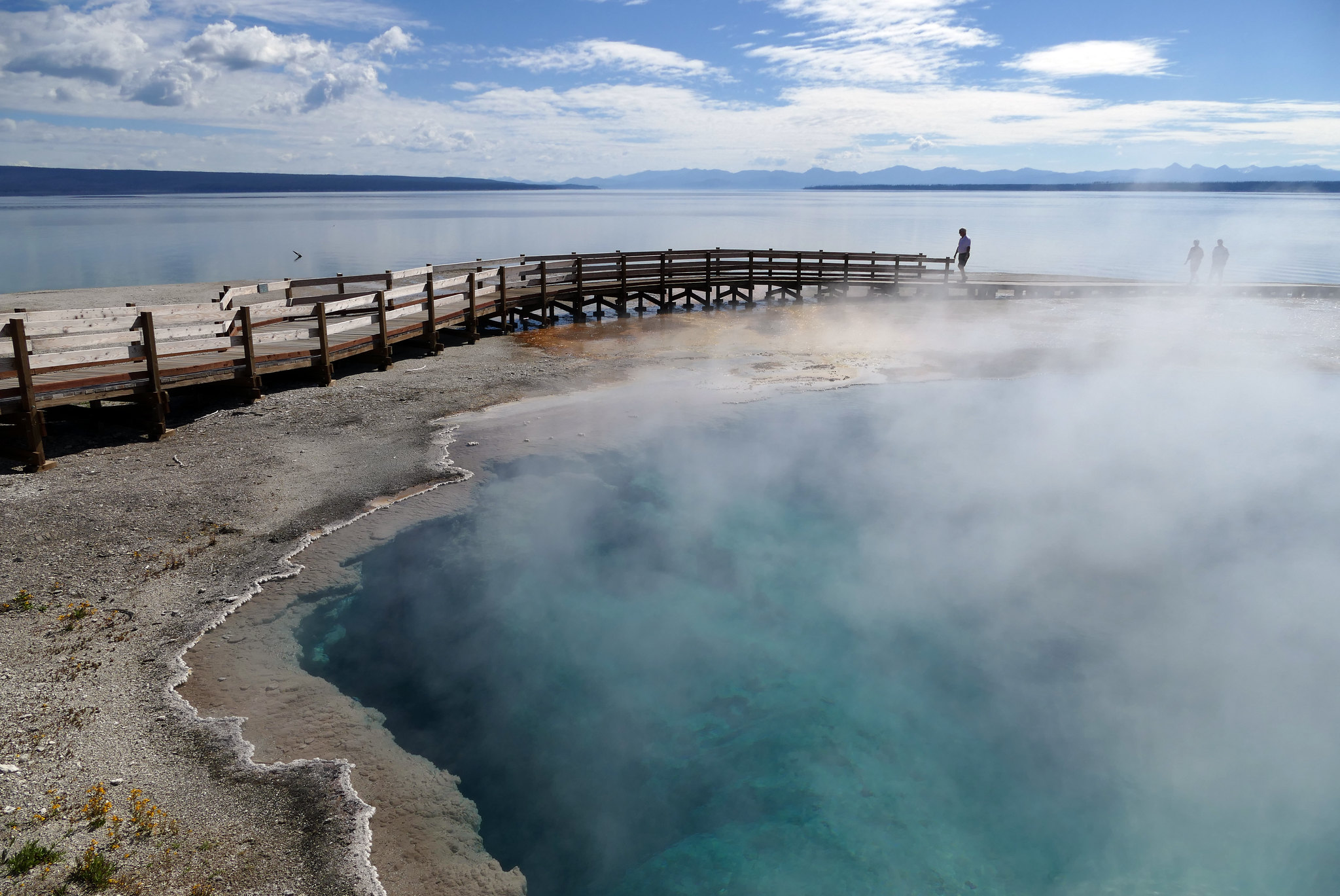
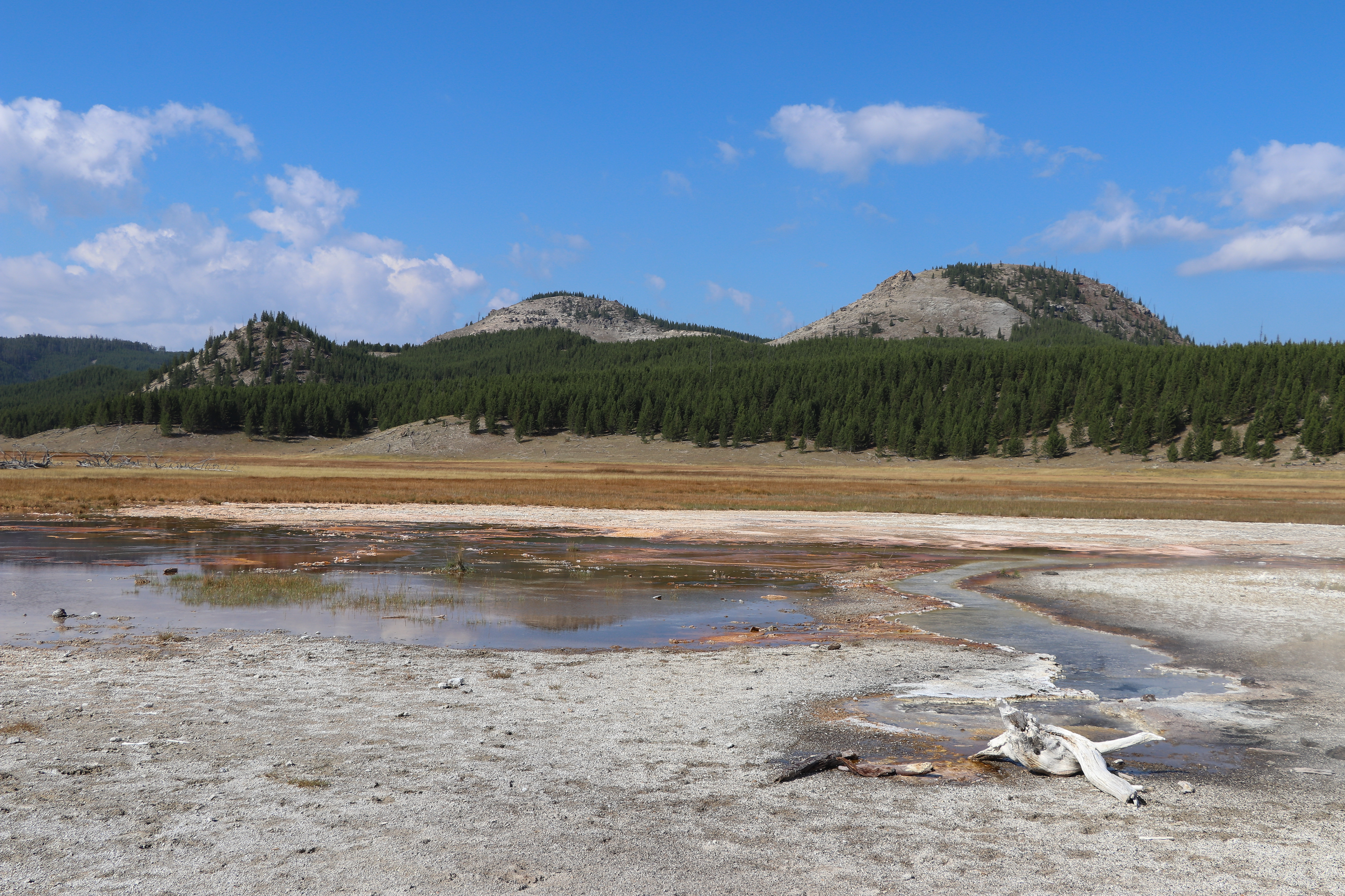
Stroll through a geyser basin of colorful hot springs and dormant lakeshore geysers situated on the scenic shores of Yellowstone Lake.

Trout Lake Trail
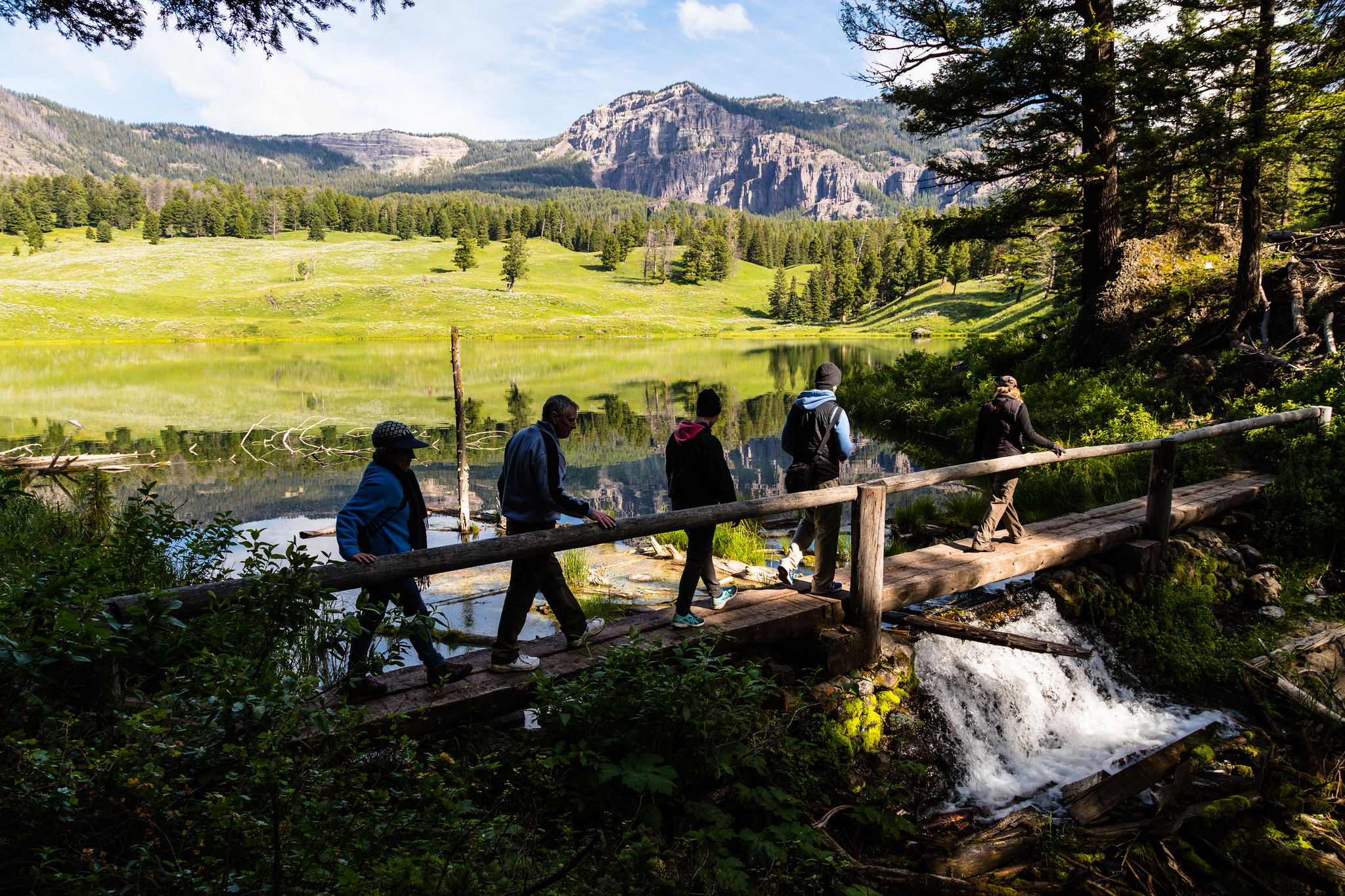
Enjoy a short hill climb through Douglas-fir forest to Trout Lake.

Abandoned Railroad Bed Bike Trail
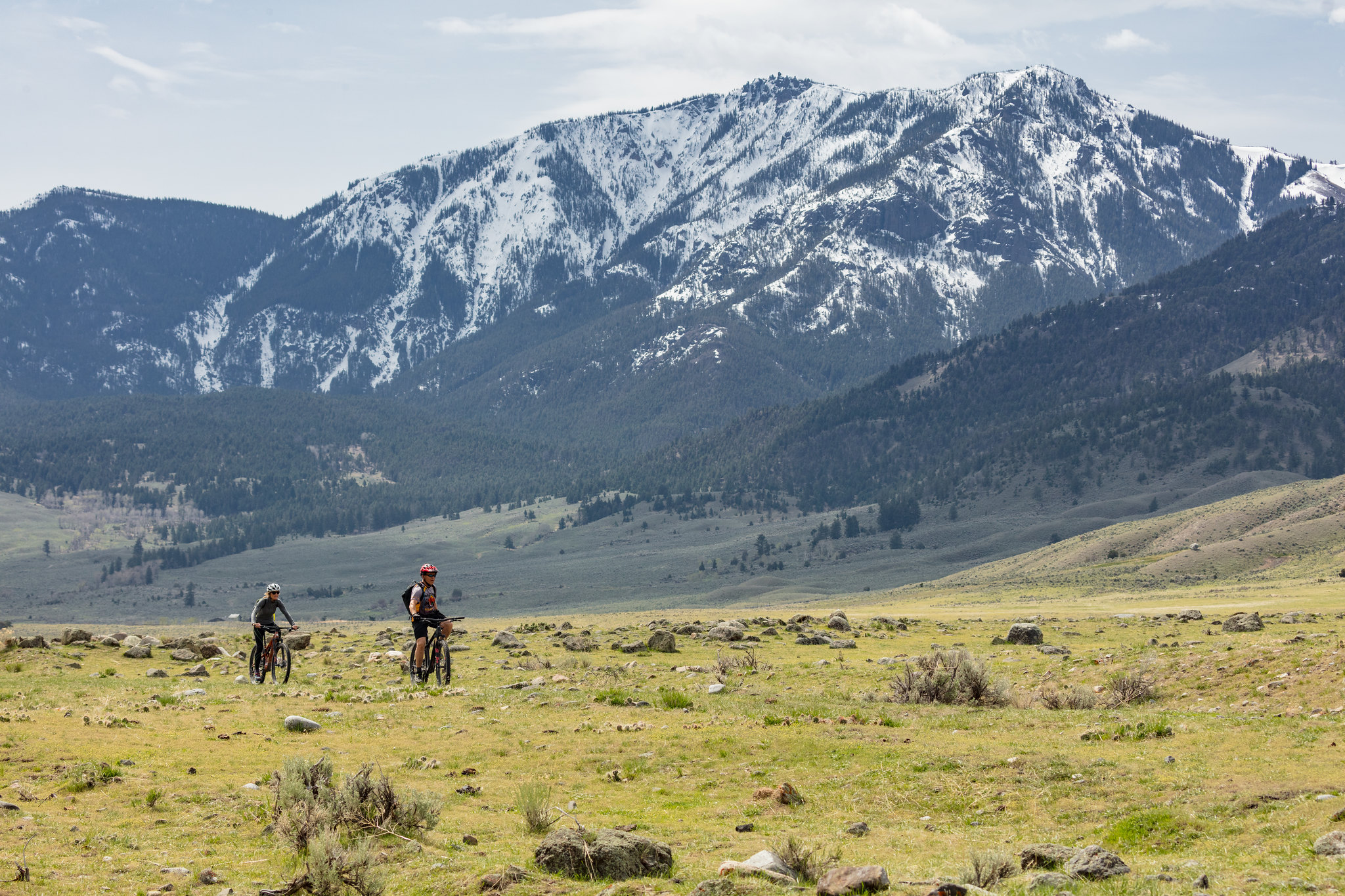
An abandoned railroad bed located near the north entrance of Yellowstone makes a beautiful bike trail.

Storm Point Trail
Pass by Indian Pond and through a forest to the shores of Yellowstone Lake. Along the way, look for marmots in the rocky area near Storm Point.

Sepulcher Mountain Trail
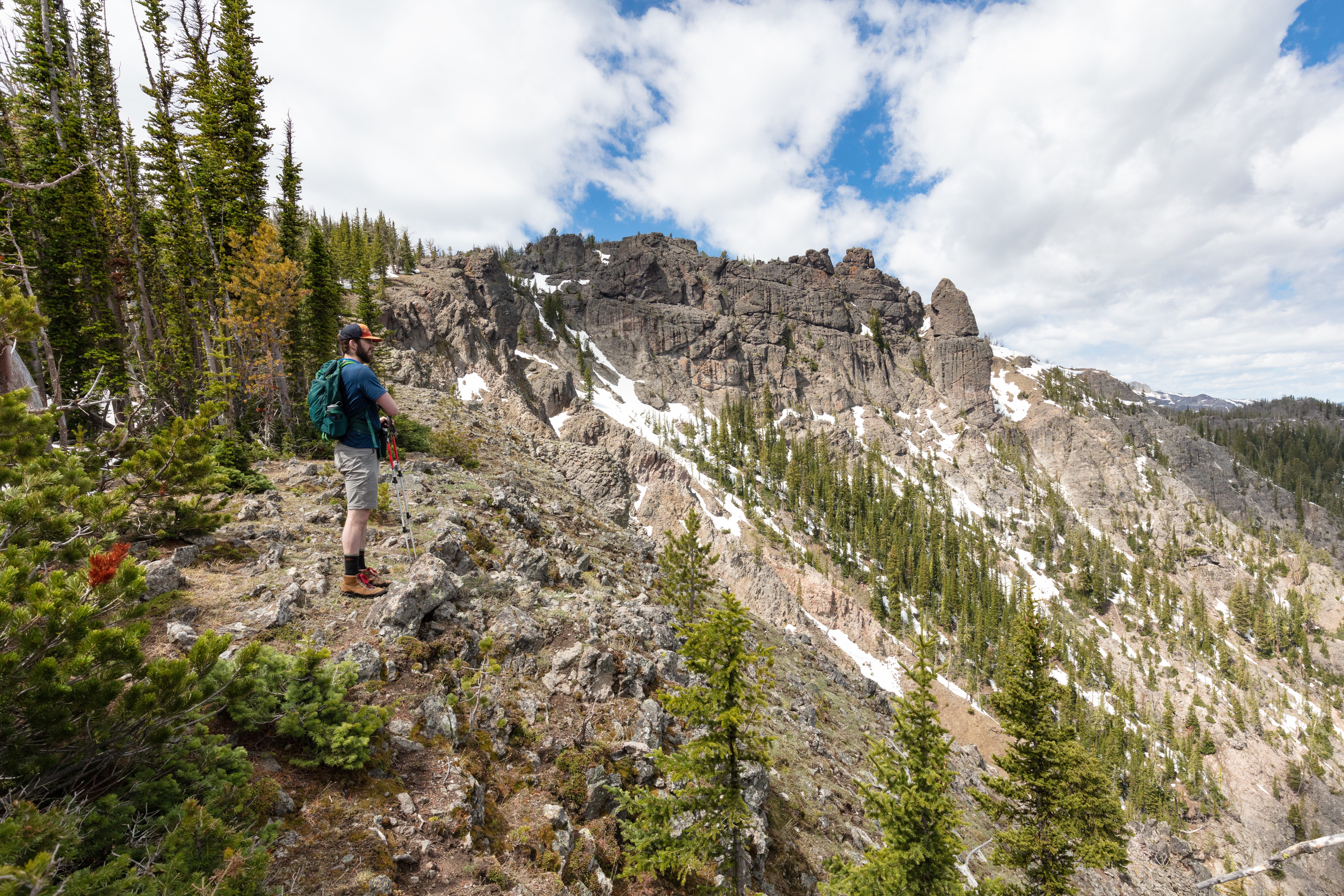
Climb to the summit of Sepulcher Mountain while keeping an eye out for mountain goats, bighorn sheep, and moose along the way.

Sentinel Meadows & Queen’s Laundry Trail
Follow the Firehole River and cross meadows until reaching a hydrothermal area. Look for the large sinter mounds of hot springs and the remains of the old, incomplete bathhouse.

Riddle Lake Trail
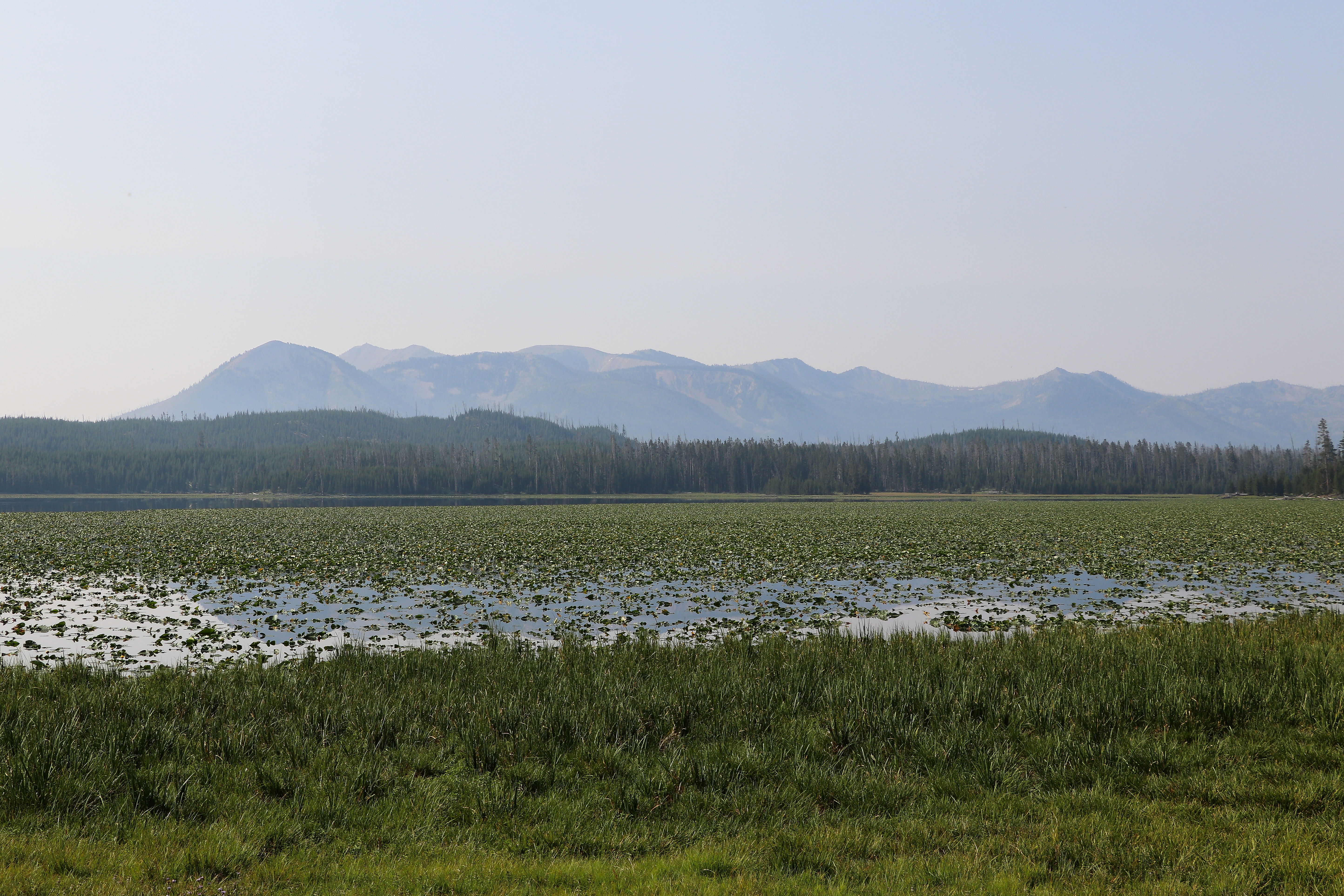
Hike through small mountain meadows and forests to the shores of a picturesque little lake. Look for elk in the meadows and for birds near the lake.

Ribbon Lake Trail
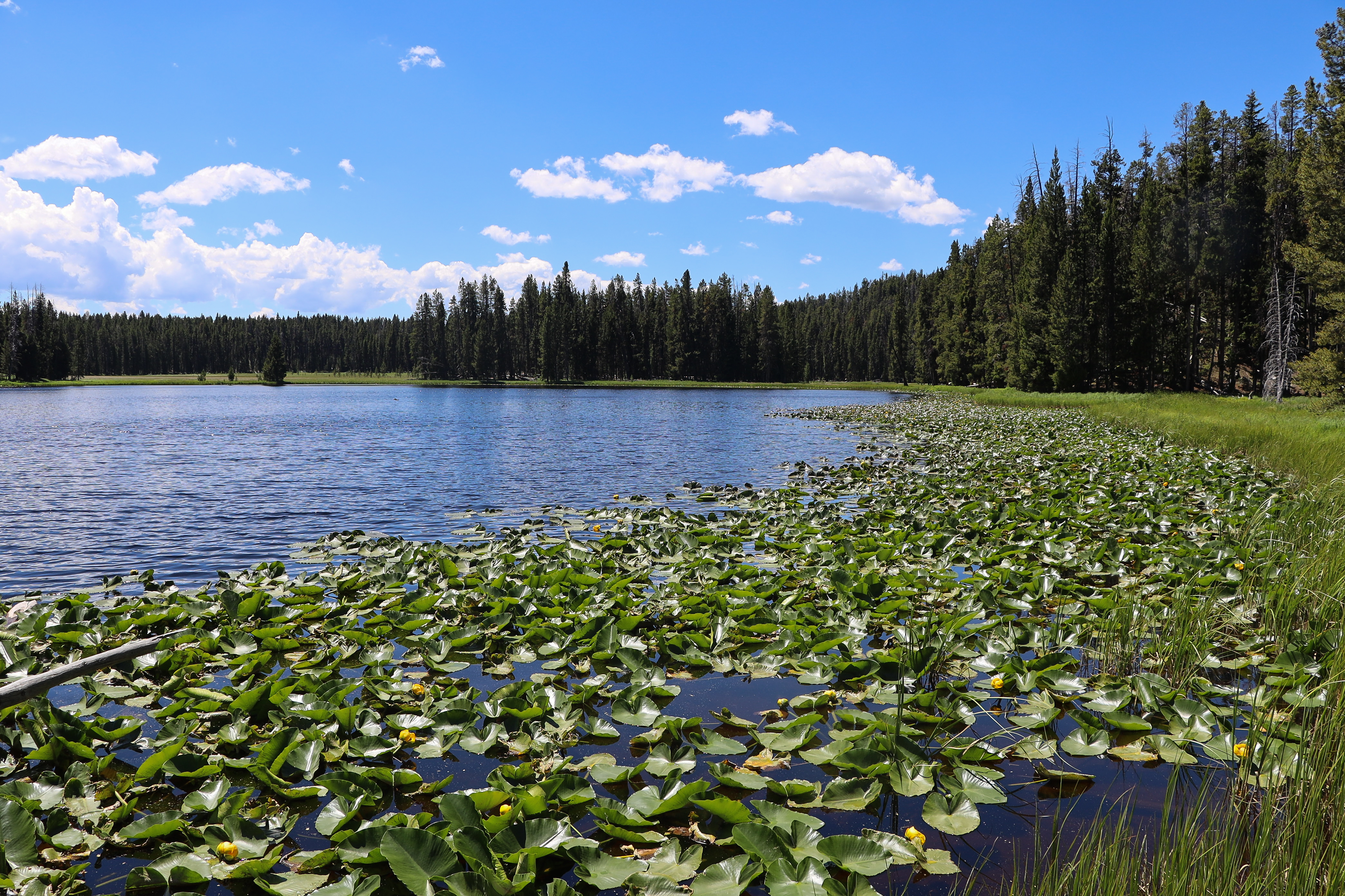
Take a stroll out to Ribbon Lake, also passing by Lily Pad and Clear lakes.

Pelican Valley Trail
Hike through forests, meadows, and a river valley—all of which are some of the best grizzly bear country in the lower 48 states.

Osprey Falls Trail
Walk along an old service road through meadows before descending into one of the deepest canyons in the park to see Osprey Falls plunge over the edge of an old lava flow.

Old Lake Road Bike Trail
The old roadbed near the lakeshore between Lake Hotel and where the roadbed joins the main road south of Lake Junction (1 mile) has a great views of the Yellowstone Lake.

Old Faithful Lower General Store to Morning Glory Pool Bike Trail
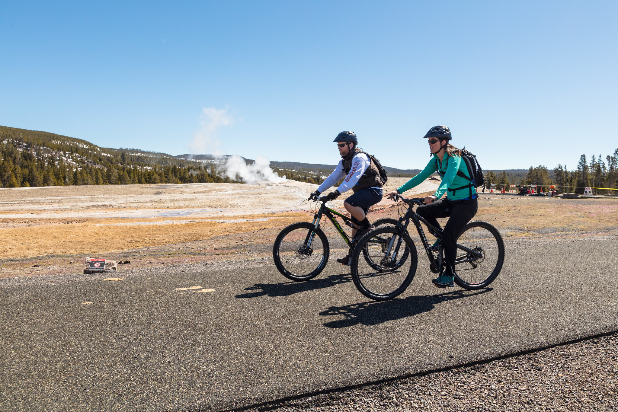
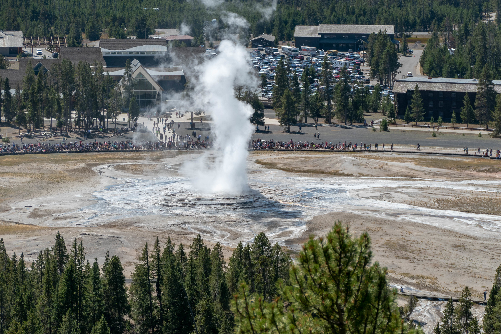
The paved trail in front of Old Faithful Lodge runs all the way to Morning Glory Pool. Take this short, (2 mi. round-trip) fairly level, paved-path and make stops to see geysers.

Observation Point Trail
Head up switchbacks to a commanding view of the Upper Geyser Basin.

Observation Peak Trail
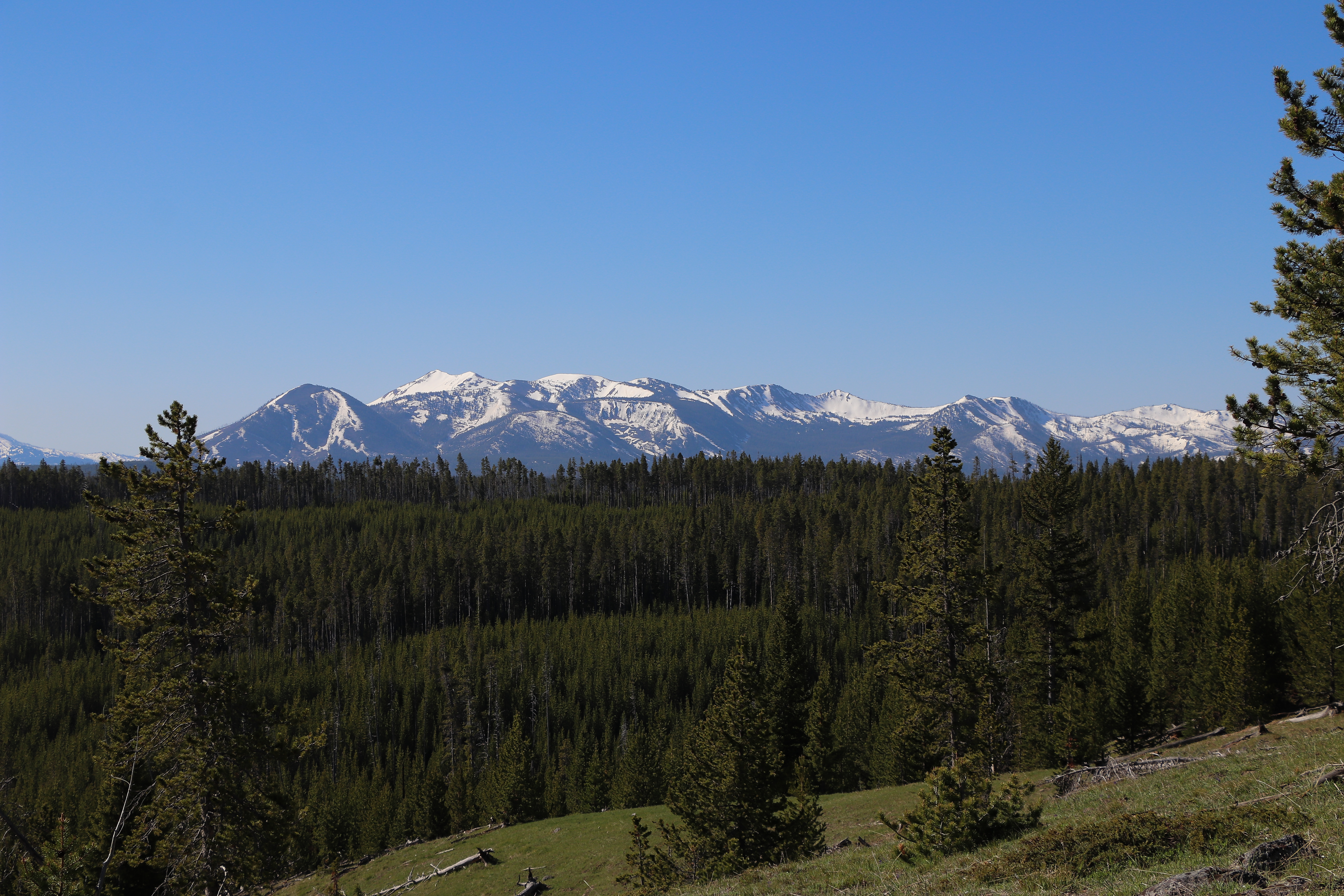
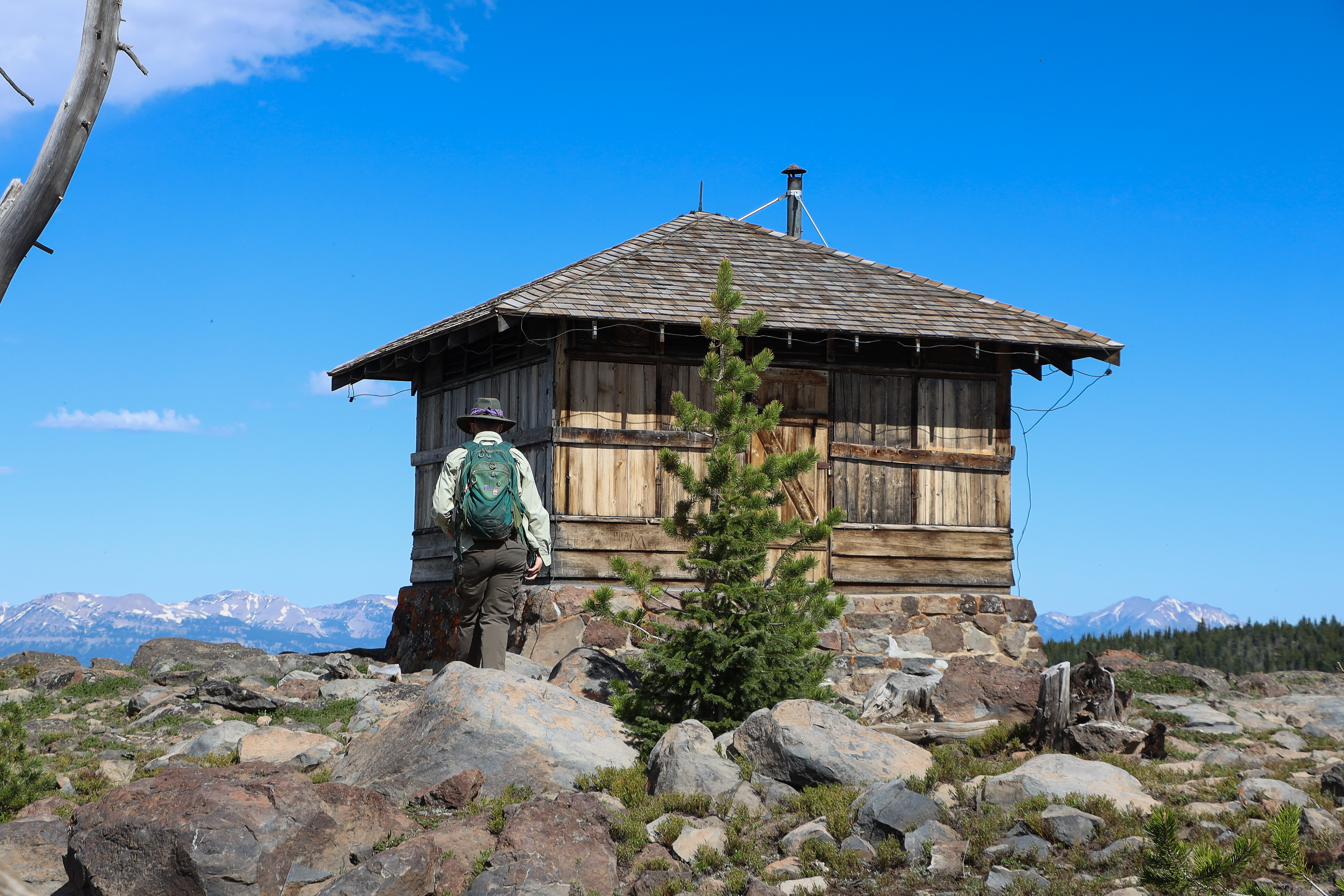
Hike to a high mountain peak for an outstanding view of the Yellowstone wilderness.

Norris Geyser Basin Trails
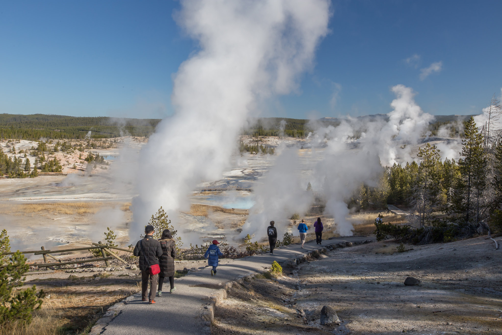
Norris Geyser Basin is one of the hottest and most acidic of Yellowstone’s hydrothermal areas. It is part of one of the world’s largest active volcanoes. Many hot springs and fumaroles here have temperatures above the boiling point (200ºF / 93ºC).

Natural Bridge Trail
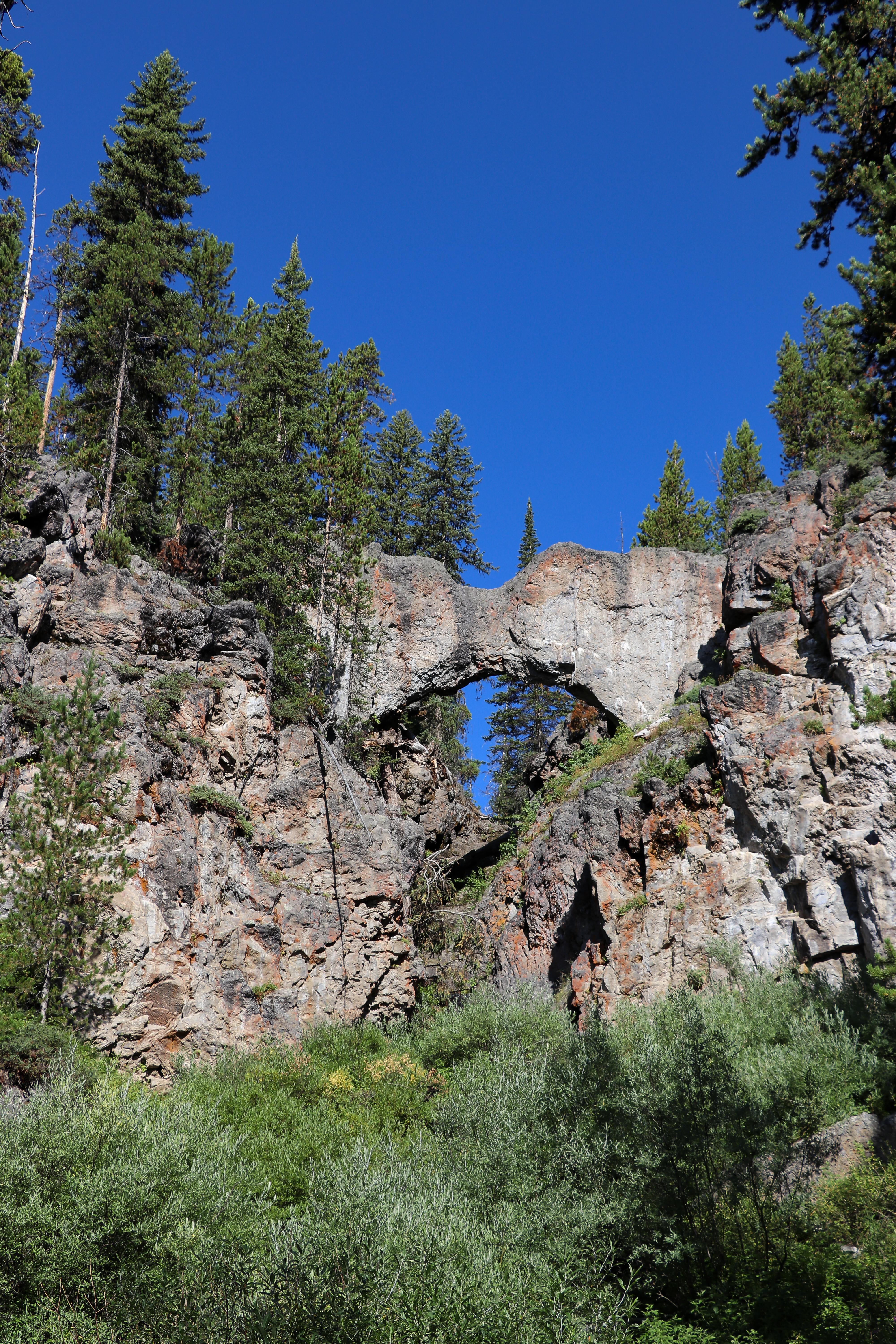
Hike through a forest and along an old service road to a natural bridge, which was cut out of a cliff of rhyolite rock by Bridge Creek.

Natural Bridge Bike Trail
The Natural Bridge bike trail is 2.5 mi (4km) round-trip ride and begins just south of the Bridge Bay marina off the Grand Loop Road.
273 total sites · 273 reservable
Canyon Campground—elevation 7,900 feet (2408 m)—lies in a lodgepole pine forest at Canyon Village, south of the Washburn range and near the breath-taking Grand Canyon of the Yellowstone River. Canyon Village offers stores, restaurants, and lodging. Nearby hikes include Cascade Lake, Mount Washburn, and the Canyon Rim trails. Yellowstone National Park Lodges provides reservations for this campground.
432 total sites · 432 reservable
Bridge Bay Campground—elevation 7,800 feet (2377 m)—is located near Yellowstone Lake, one of the largest, high-elevation, fresh-water lakes in North America. Campers at Bridge Bay will enjoy spectacular views of the lake and the Absaroka Range rising above the lake's eastern shore. Yellowstone National Park Lodges provides reservations for this campground.
310 total sites · 310 reservable
Fishing Bridge RV Park—elevation 7,800 feet (2377 m)—is located near the Yellowstone River where it exits Yellowstone Lake on its way toward the Grand Canyon of the Yellowstone. Only campground in Yellowstone to offer water, sewer, and electrical hookups. Because grizzly bears frequent the area, no tents or tent campers are allowed. Yellowstone National Park Lodges provides reservations for this campground.
430 total sites · 430 reservable
Grant Campground—elevation 7,800 feet (2377 m)—is located in Grant Village, just off the Grand Loop Road at the south end of Yellowstone Lake. It is one of the larger campgrounds in the park. Group and wheel-chair accessible sites are available. Nearby there are stores, a restaurant, gas station, visitor center, and boat ramp. Yellowstone National Park Lodges provides reservations for this campground.
276 total sites · 278 reservable
Madison Campground—elevation 6,800 feet (2073 m)—sits about 14 miles east from the town of West Yellowstone and 16 miles north of Old Faithful. Nearby, the Gibbon and Firehole rivers join to form the Madison River. In early summer, meadows teem with wildflowers and bison. In September and October, you can often hear bugling elk. Yellowstone National Park Lodges provides reservations for this campground.
70 total sites · 70 reservable
Located about eight miles south of Mammoth Hot Springs on the road to Norris, Indian Creek Campground—elevation 7,300 feet (2225 m)—sits near the base of the Gallatin Mountains and offers breathtaking views of Electric Peak. The area offers easy access to fishing and hiking. The campground is away from the main road and provides a quieter, more primitive, experience than many other locations. This is a reservable campground run by the National Park Service.
85 total sites · 85 reservable
The only campground in the park open year-round, Mammoth Campground—elevation 6,200 feet (1890 m)—is located five miles south of the park's North Entrance. Scattered juniper and Douglas fir trees provide shade during hot summer months. The campground is close to fishing, hiking, and the Mammoth Hot Springs. Great wildlife viewing opportunities abound with elk and bison occasionally passing through the campground. The campground is run by the NPS.
112 total sites · 112 reservable
Norris has been closed to the public for five years and will remain closed for the foreseeable future. Due to Norris’ remote location, the park does not have the staffing required to effectively respond to emergency incidents (law enforcement, emergency medical services etc.) and facility maintenance and repairs. For this reason, we have removed it from Yellowstone’s website and publications.
27 total sites · 27 reservable
Pebble Creek Campground was significantly impacted by the 2022 floods and will remain CLOSED until further notice for flood recovery work.
31 total sites · 31 reservable
Tower Fall Campground—elevation 6,600 feet (2012 m)—is located on the north side of the steep, winding, road to Dunraven Pass. The campground is near the Tower General Store and Tower Fall. The Lamar Valley, with spectacular wildlife viewing opportunities, is located nearby as are several hiking trails. Roosevelt Lodge, a short drive from the campground, offers dining and horseback riding. This is a reservable campground run by the National Park Service.
85 total sites · 85 reservable
Lewis Lake Campground—elevation 7,800 ft (2377 m)—is about eight miles from the South Entrance and a short walk from the southeast shore of Lewis Lake. A boat ramp is located near the campground information and registration area. Canoes, kayaks, and motor boats are allowed on Lewis Lake. Boat permits and an aquatic invasive species inspection performed by park staff are required. This is a reservable campground run by the National Park Service.
16 total sites · 16 reservable
Near some of the best wildlife watching opportunities in the park. Located at the end of a two-mile dirt road, this campground is best suited for tents and small RVs. There are plenty of hiking and fishing opportunities in the area, including the Slough Creek Trail which begins nearby. Nighttime offers a quiet, unimpeded view of the stars and the possibility of hearing wolves howl. Elevation: 6,250 ft (1905 m). This is a reservable campground run by the National Park Service.
Entrance Fees